
(19) Belmont
22 August 1608
Falmouth, VA
About
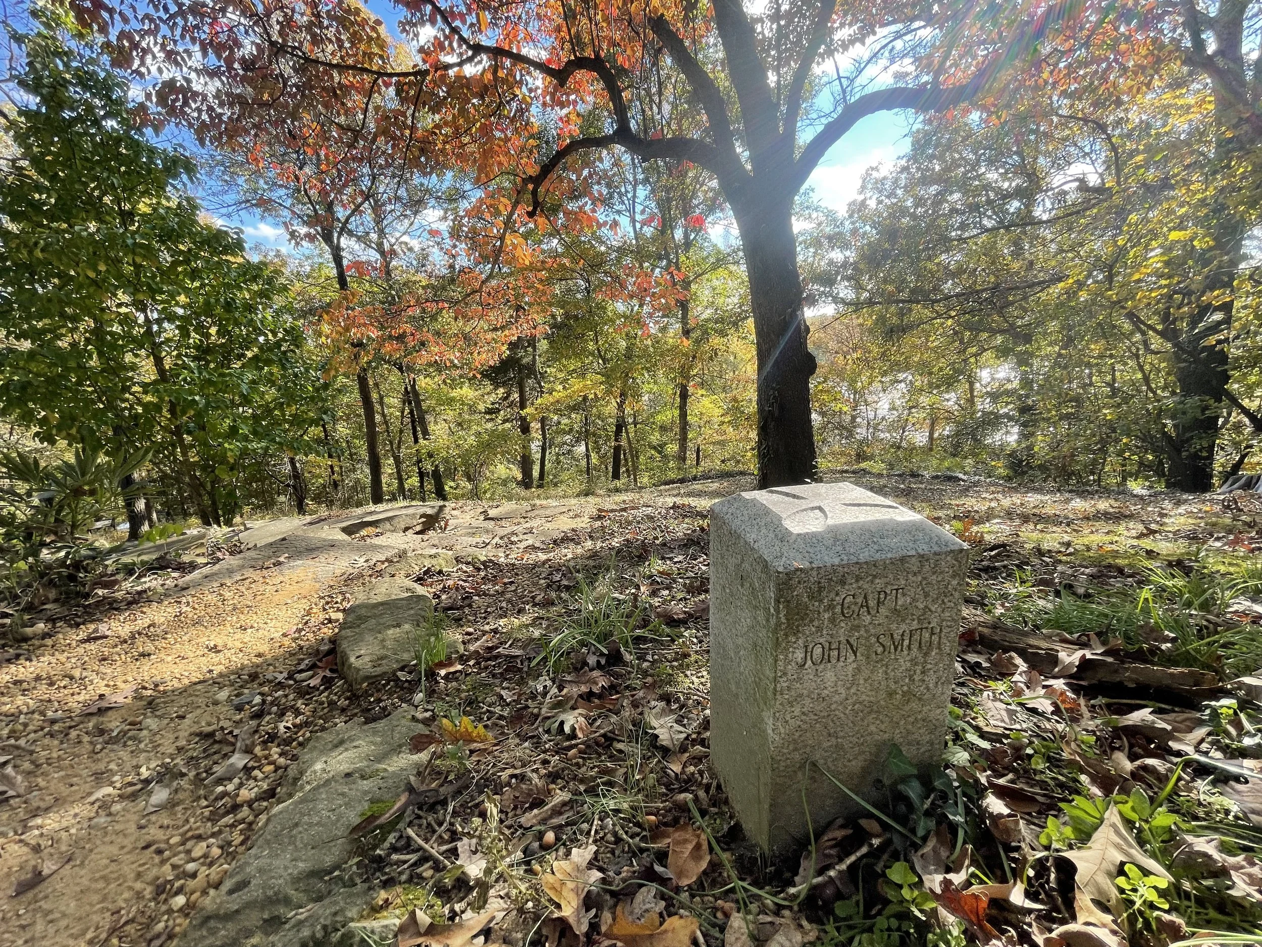
The explorers on the second Bay expedition reached the head of navigation on the Rappahannock River and ascended the adjacent elevation on the north, or left, bank to view the terrain and leave a marker.
Siting
Siting criteria are from the Smith map and the position of Laucks Island. The explorers apparently arrived at high tide.

The Rappahannock River below

A view of Falmouth from Belmont

Walk to the summer house and just below, you’ll find the marker.

Ed and Connie had the honor of escorting Jamestown historian and author Karen Kupperman to the Belmont site.
Visit
Mary Washington University. Gari Melchers Home and Studio (grounds free). Access is by land with lot parking or by flat water in paddle craft to the Route One bridge.
GPS Coordinates
38.3231, -77.4733 N38°19’23”x W77°28’24”

A view of the Rappahannock River from Belmont’s bluff.
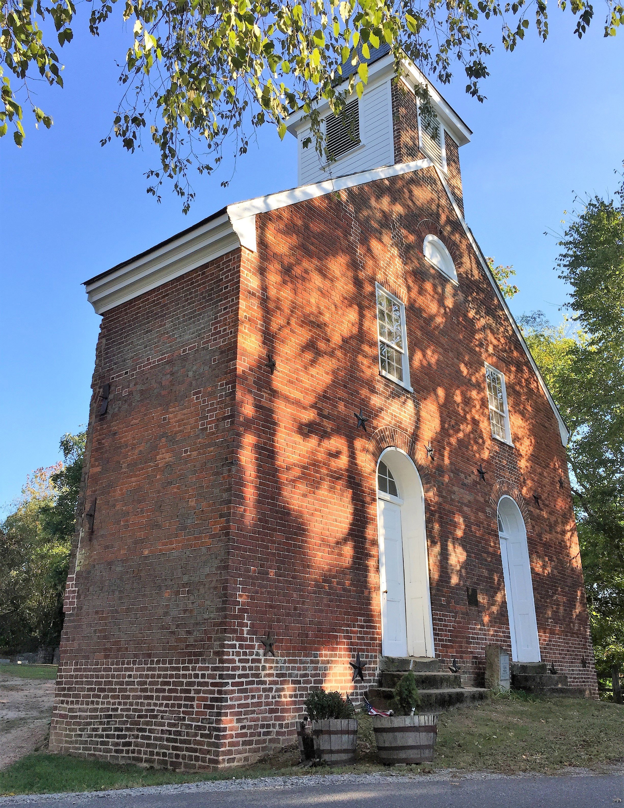
While in Falmouth, be sure to visit the 200-year-old Union Church. A storm destroyed the church’s roof in 1950, so parishioners created a new back to save the rest.


With its exquisite gardens and grounds, Belmont is also one of the easiest to access of all the marker locations.

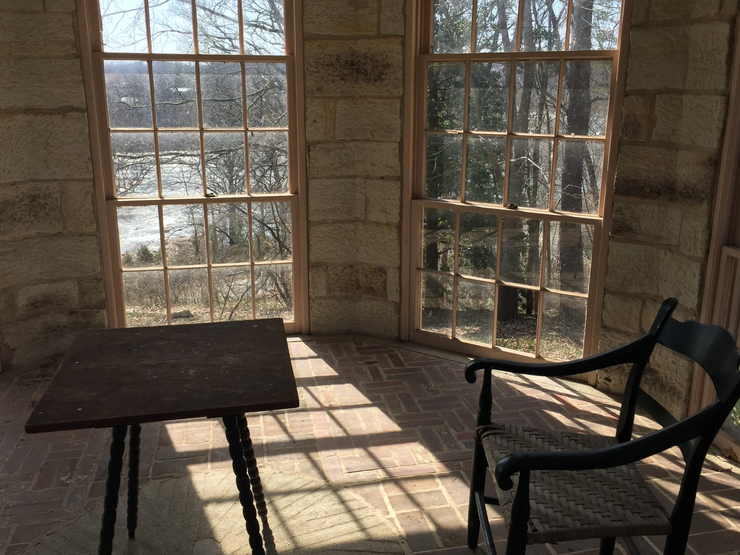
Gari Melchers had a sweeping view of the Rappahannock River, and the bluff Smith ascended in 1608, from his summer house.