
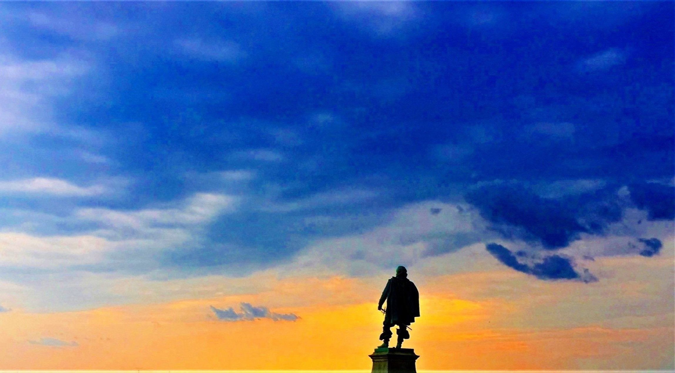
(1) “The Falls”
24 May 1607
Richmond, VA

About
Capt. Smith was here as a member of Capt. Newport’s expedition exploring the upper tidal portion of the James River ten days after the first landing at Jamestown Island. The site is where the Newport party turned around after marching up the north bank past the falls along Mayo and Browns islands from their landing along Great Shiplock Park.
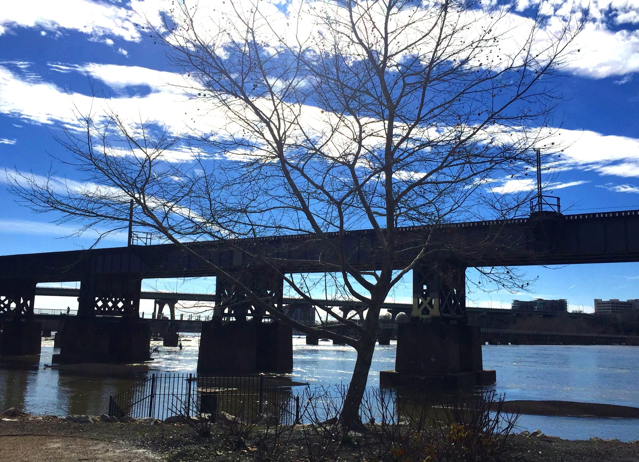
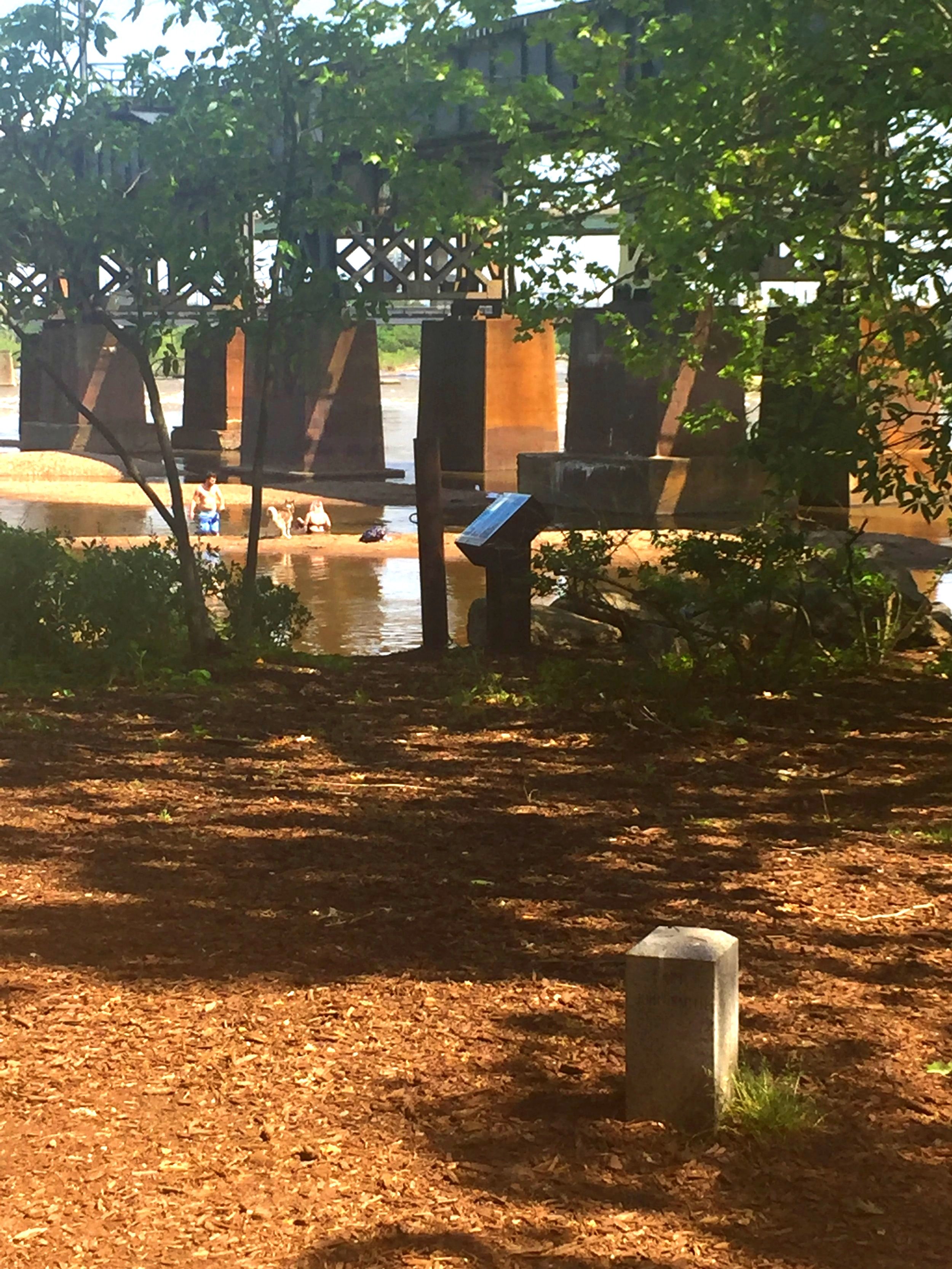
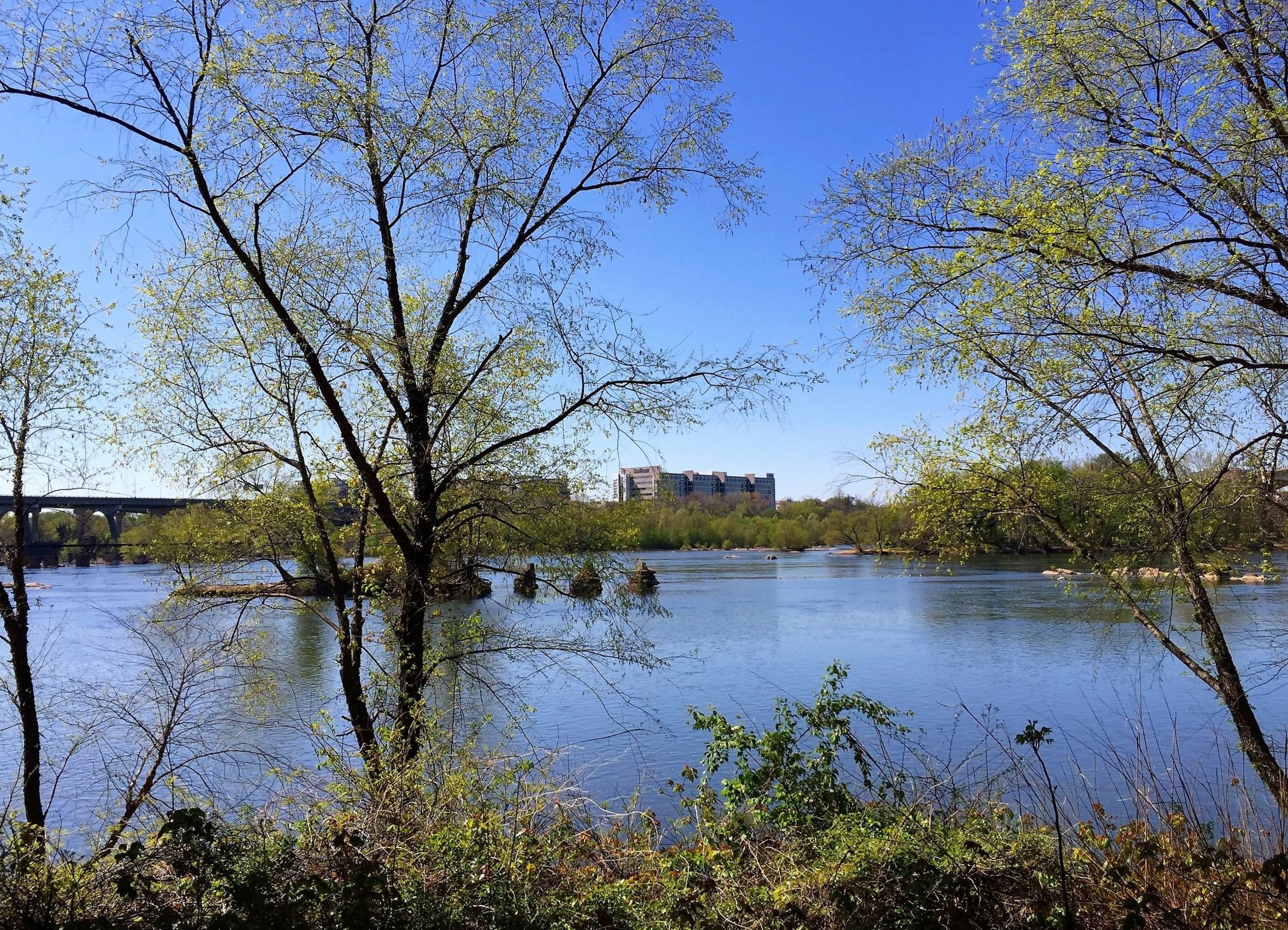
The James River near the “The Falls” site.


Nathan Burrell, Superintendent of James River Park System, helps install the first cross marker, March 2016.

We show Nathan Burrell, Superintendent of the James River Park System, where the Richmond cross is indicated on the Smith map.
Siting
Siting is based on journals of Smith and others and the Smith map showing the four prominent elevations of the city—Church, Capitol, Gambles, and Oregon hills in order upstream. The river ran all or mostly south of Belle Isle at the time.
Visit
Haxall Headgate Park, Richmond, VA
Public land. Access by land or falling water. Parking is in two lots off Tredegar St., one paid, one free.
GPS Coordinates
37.5344, -77.4453
N37°32’04” x W77°26’43”