(9) “Kuskarawaok”
10 June 1608
Woodland, DE

V-e-r-y slow going in the muck
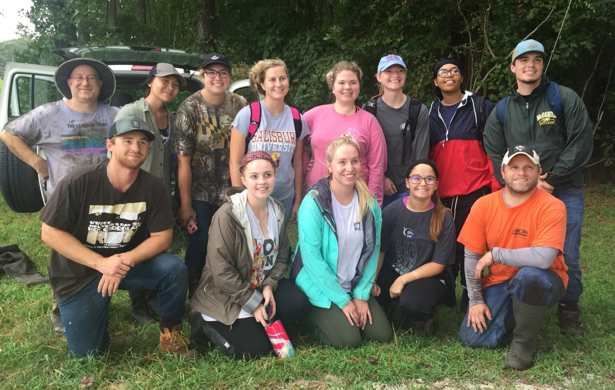
Dr. Brent Zaprowski's senior geology students from Salisbury University performed LIDAR, core sampling, and tree ring analysis to help us determine the age of a marsh. The results confirmed the site.

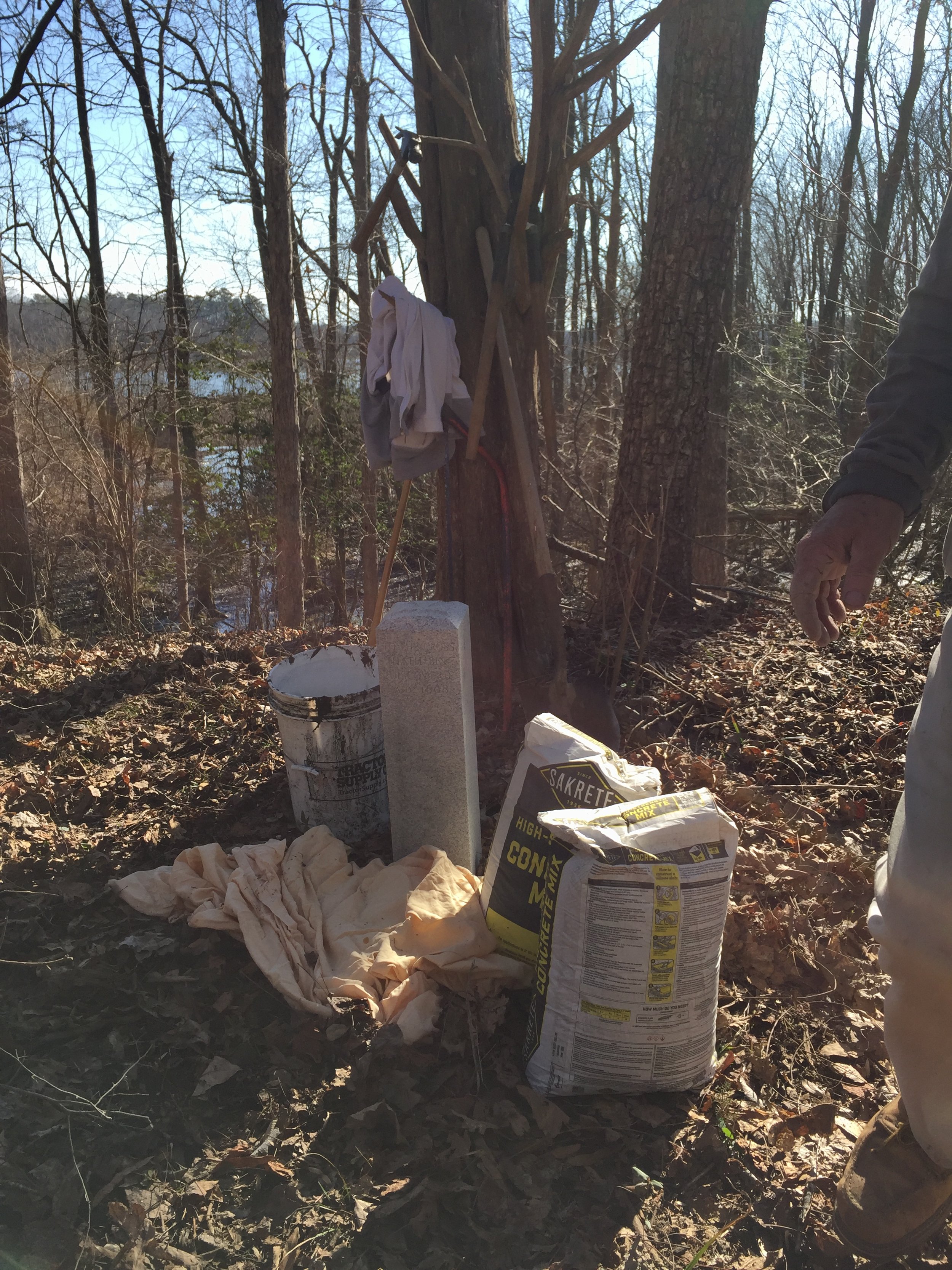
Ground cloth, bucket of water, 80 pounds of concrete, 100 pounds of marble, tools, a half mile on a wheelbarrow through woods. Not for the faint-hearted!
About
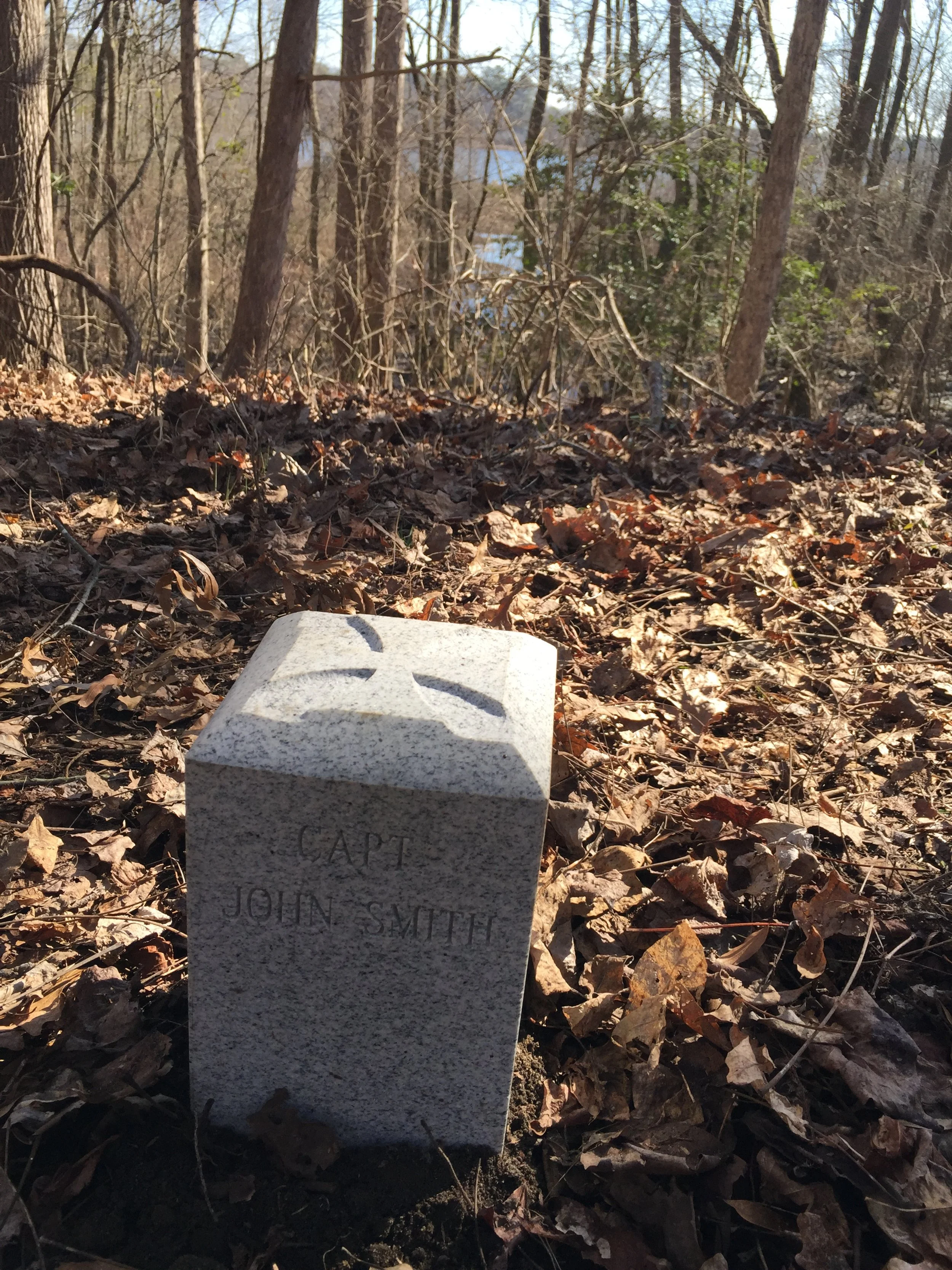
Capt. Smith, lying off the village of Nause, gets an invitation from the friendly local Indians to conduct him “anywhither” by swift canoe, capable of breasting the strong ebb tide. He accepts and journeys over 50 miles roundtrip up the Kuskarawaok (Nanticoke) River.
Siting
Siting is on the first bluff below the old mouth of Broad Cr. but the first above the riverbends upstream from Marshyhope Creek.
Visit
Public land, Woodland Wildlife Preservation Area.
Access is by county WPA permit. By land on foot via a private lane or overland through WPA woods. By tidal water, the marsh/swamp fringe at its narrowest is 75 feet, 500 feet downstream from the cross site.
GPS Coordinates
38.5715, -75.6781
N38°34’17”
xW75°40’41”