

(5) Dragon Run
December 24, 1607
Center Cross, VA
About
Powhatan’s next youngest brother, Kekataw, now sees to marching the captive northward from his residence at Menapucunt (West Point) to the king’s house of Toppahanock (Wares Wharf), forded the swamp in this vicinity.


Ed installing the marker.


The Dragon Run, open in many stretches to paddle craft, is not navigable to this point. The marker is less than half a mile from the entrance to the public access site. Park at the top of the hill and follow the trail. The marker is just across the foot bridge.
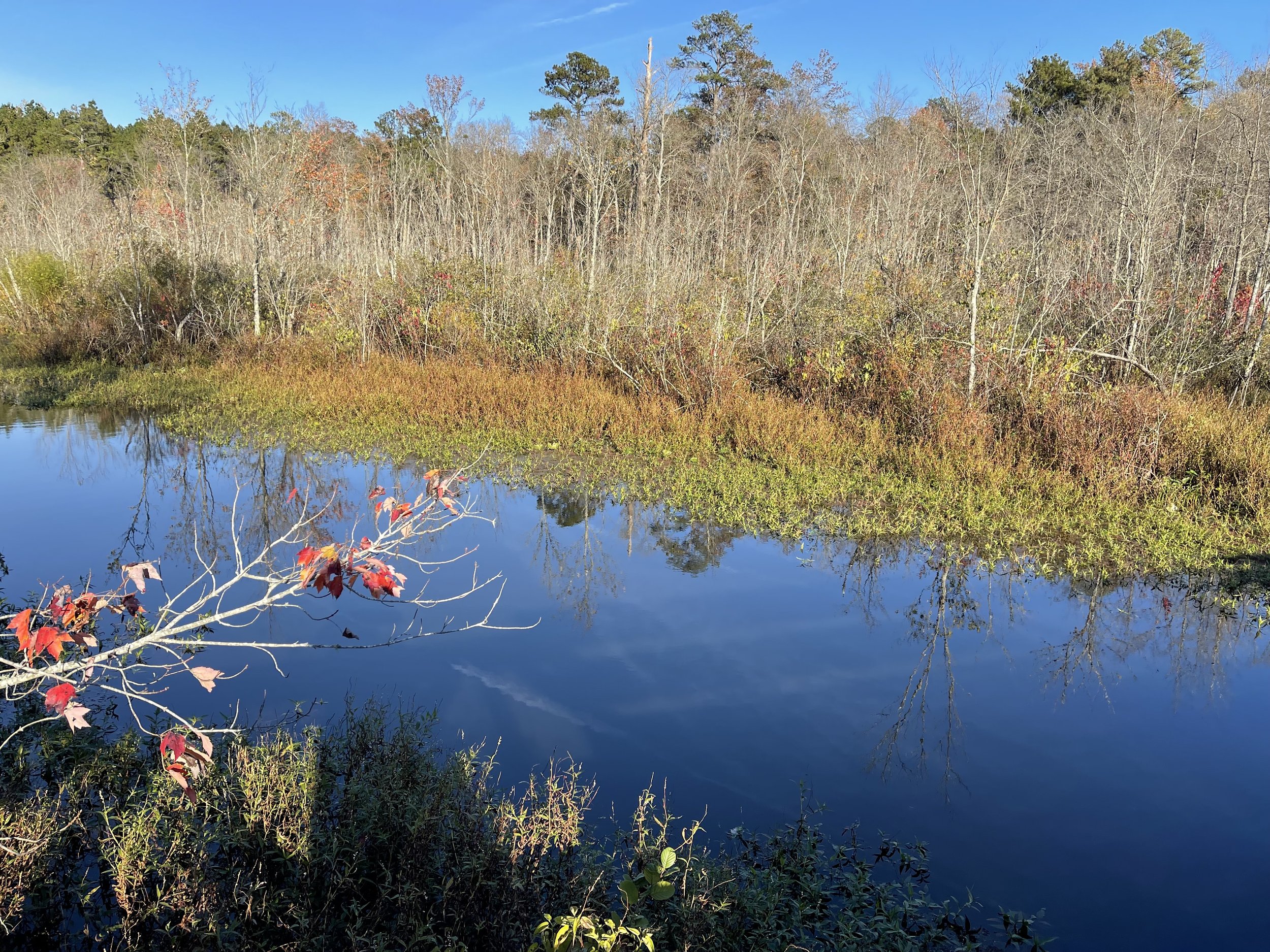


The Dragon Run forms a 50-mile-long swampy headwater of the Piankatank River, much of it in groves of ancient bald cypress.
Siting
Siting is taken from the Zuniga and Smith maps in a direct line of march along intervening ridges. The Powhatan were not loath to wade in chilly water but also made shift to cross swamps and streams on pole bridges and beaver dams.

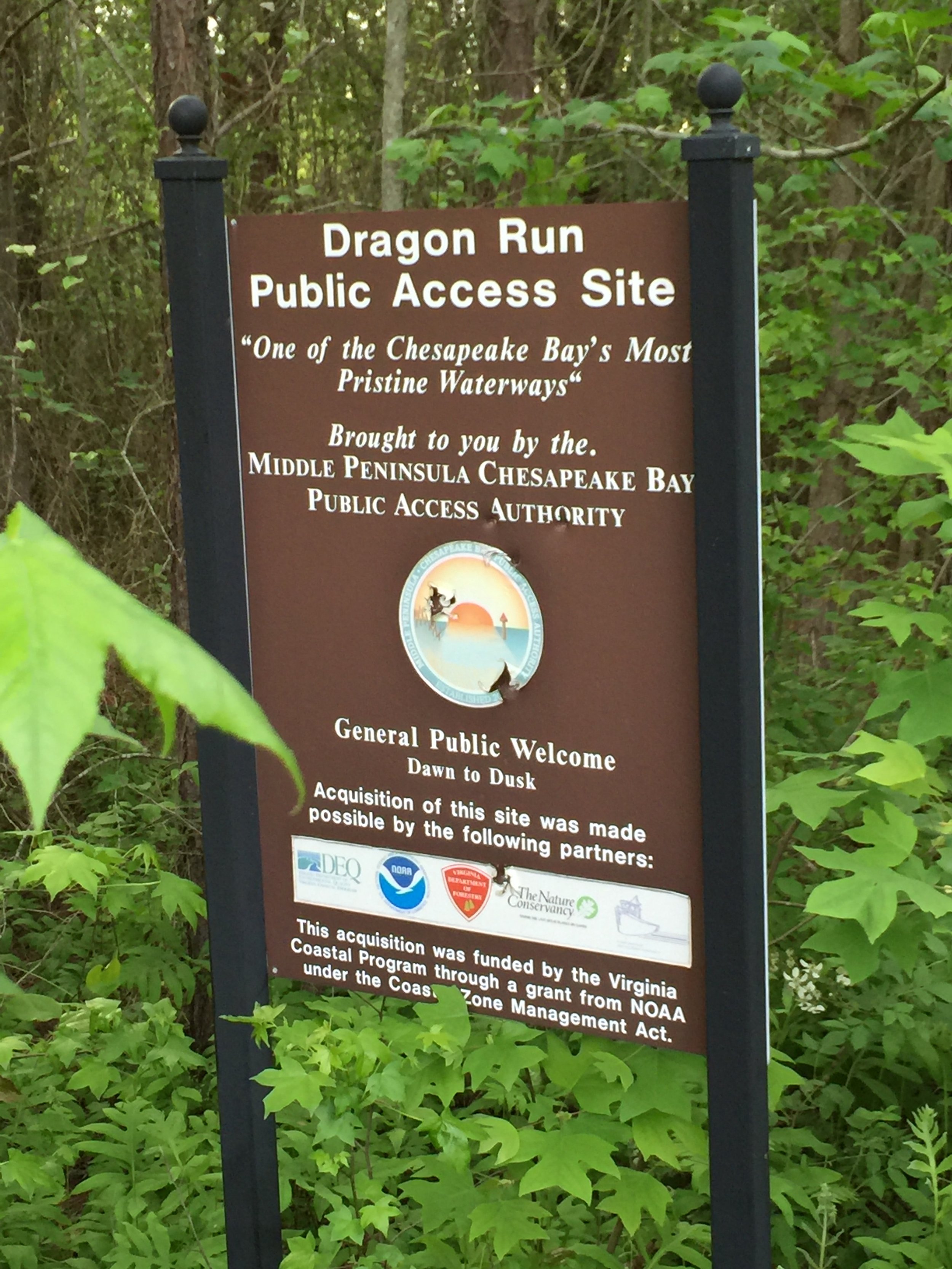
Visit
Public land, Brown Tract, Middle Peninsula-Chesapeake Bay Public Access Authority, Dragon Run Public Access Site.
Access is by land with single-vehicle parking, entrance off Byrds Bridge Rd. or, when open, to a small lot inside the gate. A water approach up the Rappahannock River to a beach landing off the end of Bowlers Wharf Rd. offers a four-mile hike along small public roads.
GPS Coordinates
37.7858, -76.7914
N37°47’09”x W76°47’29”
All photos: Connie Lapallo