Velasco Map
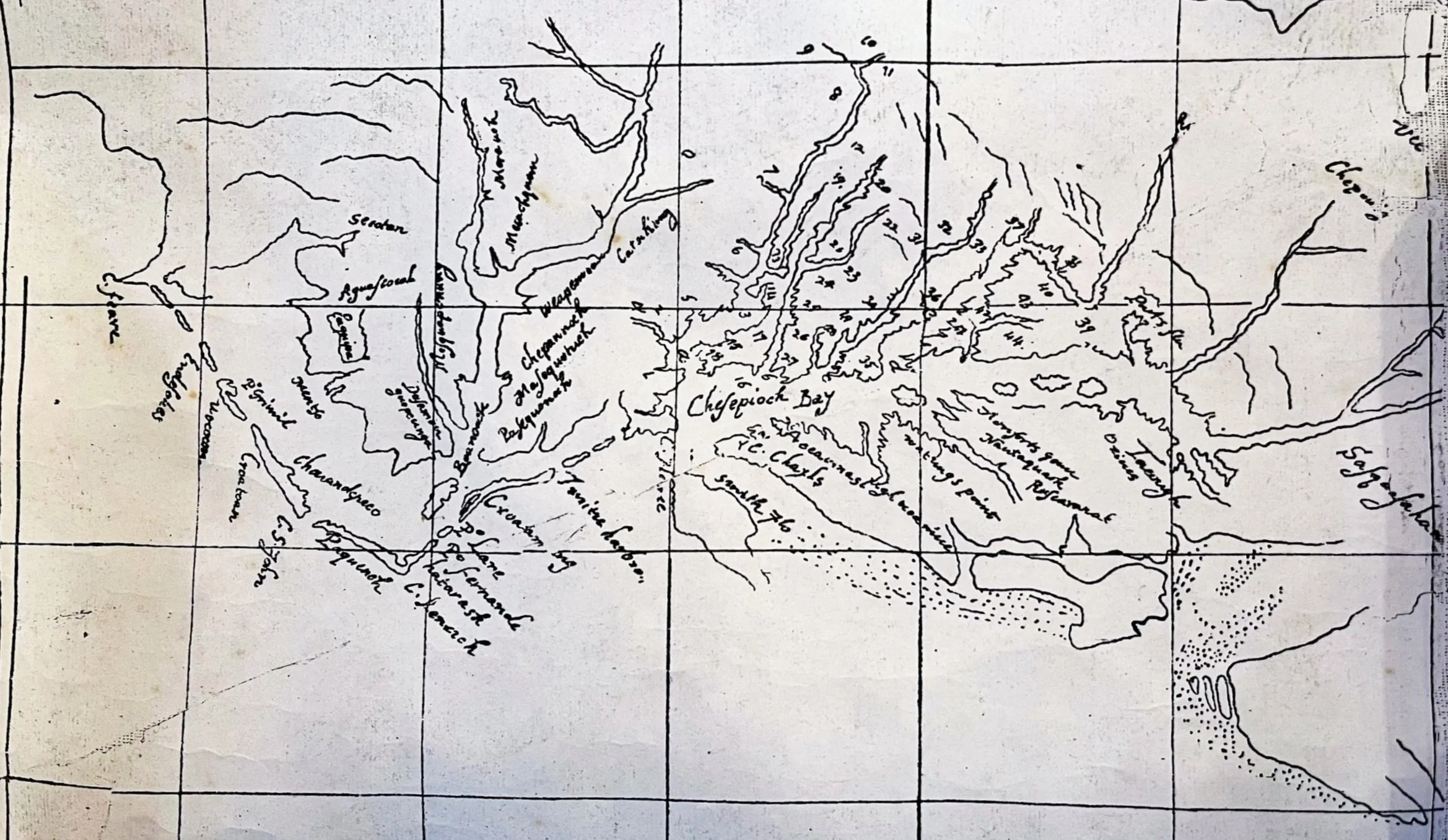
The Velasco map, dated 1610, is a composite of the northern half of the East Coast, based on sectional charts, published and unpublished, from John White, John Smith, Thomas West, Henry Hudson, Samuel de Champlain, and others. It identifies the same kings’ houses on the Chesapeake portion that appear on the Smith map, with several important exceptions and omissions. It carries the title inscription, “A Portion of a Map made for King James in 1610, copied and sent by Don Alonso de Velasco to king Philip, 22 March 1610.” It is impossible to say who made his copy for him. It does not look like cloak and dagger work. It is hard to attribute it to Smith’s hand, since it omits Moraughtacund, where he spent much time and made friends and allies when he explored the Rappahannock River.
Suspected as a 19th century forgery though the Virginia portion is in a few cases helpful in interpreting Smith’s map. Hence a very tenuous attribution to Smith.