
Cross Project FAQs
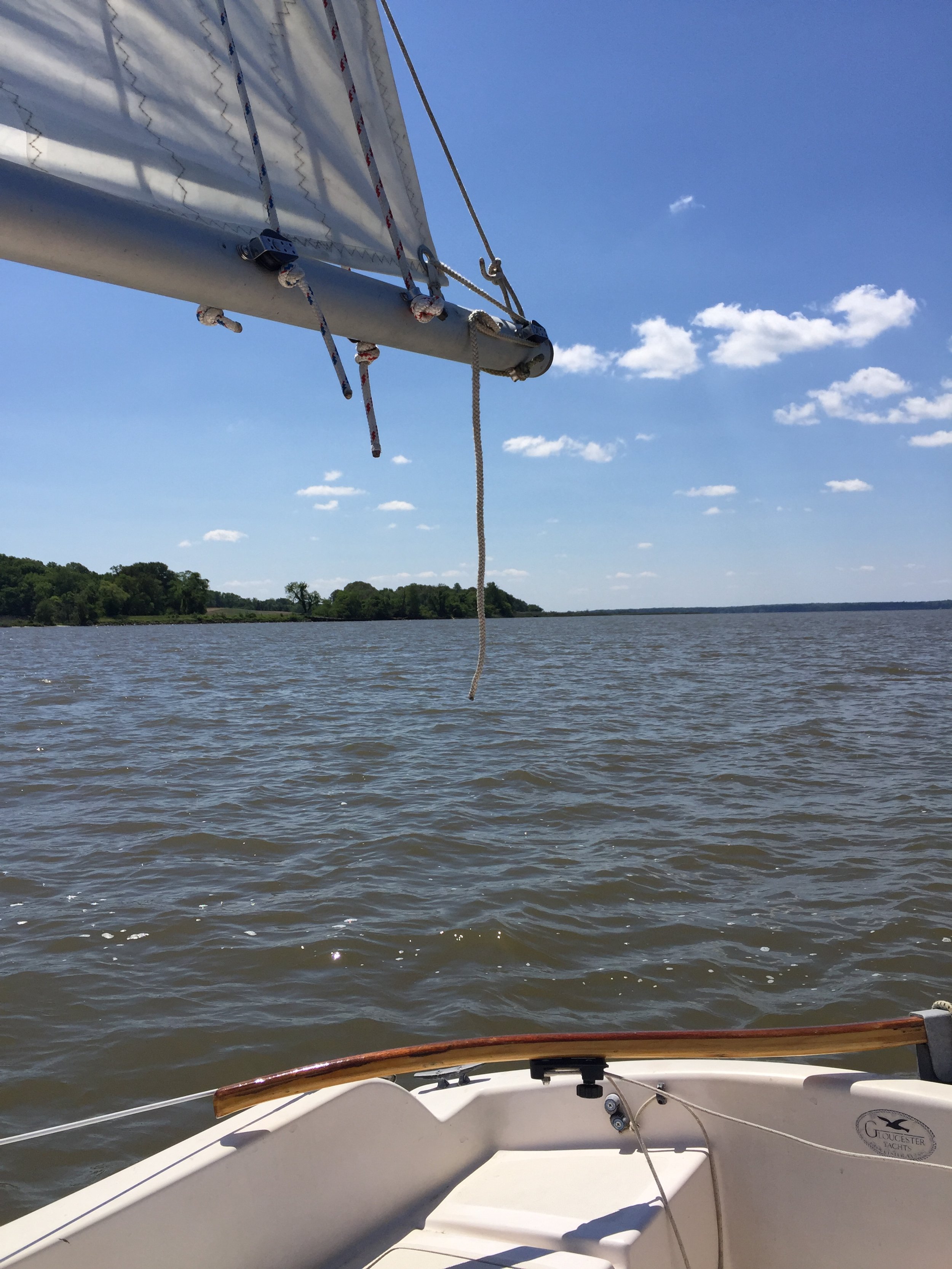
View from the starboard quarter of Ed Haile’s sailboat on the Rappahannock River. Here’s one way to approach some cross markers.
Photo: Connie Lapallo
How do I visit?
Each cross is given GPS coordinates to the nearest second of longitude and latitude. A second equals about 100 feet. Decimal coordinates at 1/10,000 equal about 35 feet. Consult the list of sites which lists permission status and GPS coordinates. Crosses on private land and wildlife management areas are usually off-limits during hunting season, October to January.
Are there any fees?
No. All sites can be visited free of charge subject to restrictions.
What are the restrictions?
Sites on public land are relatively unrestricted. Other use categories are restricted as noted. Some sites are closed off during hunting season, October-January.
How about going by water?
Shallow draft, either power, paddle, or sail-plus-dinghy. The longest open-water passage is across the mouth of the Bay, 11 ocean miles from Cape Henry to Fishermans Island.
Mast height will rule out visits by sail up some rivers.
Approaches by land?
Some can be approached by land. For example, Site 15, Gunters Harbour, is a short but difficult trek through brambles to the creek fork. Note that you might need the tree coordinates noted on the List.
Others have no land access, such as Site 18, Willowbyes on Bush River Point.

The Sultana Shallop (Photo: Chris Cerino)
Was Smith a sea captain?
No. He was a captain of cavalry from a battlefield commission in Slovenia. He was later promoted to major on another battlefield in Romania but, like Stonewall Jackson, preferred through life to be called Captain.
How did he explore?
Mostly from a 30-foot open boat called a barge or a shallop, with a crew of a dozen in several expeditions from the summer of 1607 to the spring of 1609. He used an astrolabe, a sundial, and a sounding lead. His mention on the capture route is the earliest record of the use of a magnetic compass for land traverse. He often left the shallop with a guard detail and set out on foot in short marches with members of his crew. On a few occasions he accepted a ride in an Indian “aquinten” or log canoe. Some were 50 feet long.
Didn’t a reconstructed shallop reenact his voyages some years ago?
The Chestertown shallop traveled much of Smith’s water route around the Bay in 2007 but made no attempt to visit the sites of crosses as such. At that time, they had not been researched and determined.
What is the capture route?
In late 1607 Smith was captured by the Indians and for a month was marched by them over most of eastern Virginia, supplying him with much map information, before he was released and returned to Jamestown unharmed.
Have any original crosses been found?
None reported.

An enlargement of a portion of Smith’s map of Virginia. When the trail cross marker site names appear in quotation marks, it' indicates a name which Smith himself gave the site on his map.
The three crosses that were eliminated, what did they stand for? Any idea where they would have been?
Two are portrayed along the Virginia-North Carolina line but not set: “Mangoags” is an Indian tribe around Emporia. “Chawons” is another tribe but the cross looks like it represents the watershed of the Bay and Albemarle Sound, south of Suffolk. Their map significance appears to mark the boundary between “old” and “new” Virginia; i.e., Raleigh’s extinct Roanoke colony versus Jamestown. The third cross, south of Virginia Beach, might have marked a sight boundary of the coast for ships arriving and departing, or as far south as Smith could see when off Cape Henry on June 2, 1608, at the outset of his first Chesapeake expedition. The telescope was as yet unknown to Smith.
How did Smith set up a cross?
His brass crosses were likely nailed to trees. The rest were shapes carved in tree bark.
Did Smith leave unmapped crosses in other places? If so, why unmapped?
Yes. He names eleven locations, implying there were more.
In Maryland: Howell Point, Swan Point, Pooles Island, “Smals Point” (shown somewhere between the Bush and Back rivers but probably at Bodkin Point), “Profitts Poole” (on the Patapsco River just below Elkridge), Watkins Point, Bloodsworth Island, Lower Hooper Island
In Virginia: Smith Point, Windmill Point, New Point Comfort.
Three more locations that were likely: Point Lookout on the Potomac and Lyons Creek on the Patuxent River in Maryland, Tangier Island in Virginia, and Haines Point in the District of Columbia.
An illustration from Captain John Smith, by C. H. Forbes-Lindsay
Mapped crosses represent turnarounds to inform the English. The unmapped ones were simply prominent points along the way to inform the non-English.
Where do the site names come from?
The ones in quotes on the List are from Smith himself as they appear on his map in reprints during his lifetime. The others are current names (some of which date back to Smith).
There are a bunch of places around the Bay named for Capt. Smith, right?
Two: Smith Island east of Cape Charles and Smiths Falls on the Susquehanna River. Watkins Point, Pooles Island are named for crewmen of the shallop. Several other crew names have disappeared.
Did other explorers contribute to Smith’s map?
Yes, but very little. The detail of the James River above the cross at The Falls (Richmond) was drawn from a map and report of Capt. Christopher Newport’s visit of Monacan country in October 1608. Smith was not a member of the party. Newport’s map is today lost. Other detail beyond the crosses was supplied by native informants.
What did the Indians think of all this?

In 2015, Ed Hailed invited Connie Lapallo onboard the Capt. John Smith Trail Cross Marker project. Here, Ed shows how some Smith rivers and creeks can also be seen on the Zuniga map. Photo Connie Lapallo
Smith’s exploration, especially north of the York River, was dependent on their hospitality, which was at times slow in coming, other times immediately friendly and welcoming. There must have been some suspicion as to the purpose of the crosses. After all, nobody ever reports having seen one later. Three are within or very close to native settlements: 6-Teracosick, 21-Chesapeake, 23-Appamatuck.
Why did the Indians welcome him? Wasn’t he an invader?
Foreigners then and now represent both a threat and an opportunity. The English had fascinating things to trade and could be allies against enemies.
Why did Smith use a Maltese cross symbol? And how big was one?
He doesn’t tell us. The Maltese shape, properly called a Cross Formy, is a distinctive map symbol without connotation.
Size? Without an original it’s anybody’s guess.
Why does the marker say, “Discoverd” rather than “Discovered”?
The spelling matches the spelling on the old Smith map, a time before spelling was standardized.
When was the first cross in the project set, and where?
April 14, 2016, 1. The Falls, Richmond, Va.
What is the distribution by state?
Virginia 15 (13 set)
Maryland 7 (6 set)
Delaware 2 (2 set)
Why now?
Restoring the crosses was an idea conceived 2004 in the spirit of the Jamestown 400th. It has just taken much longer than anybody thought and is not quite finished yet.