

(15) “Gunters Harbour”
31 July 1608
North East, MD

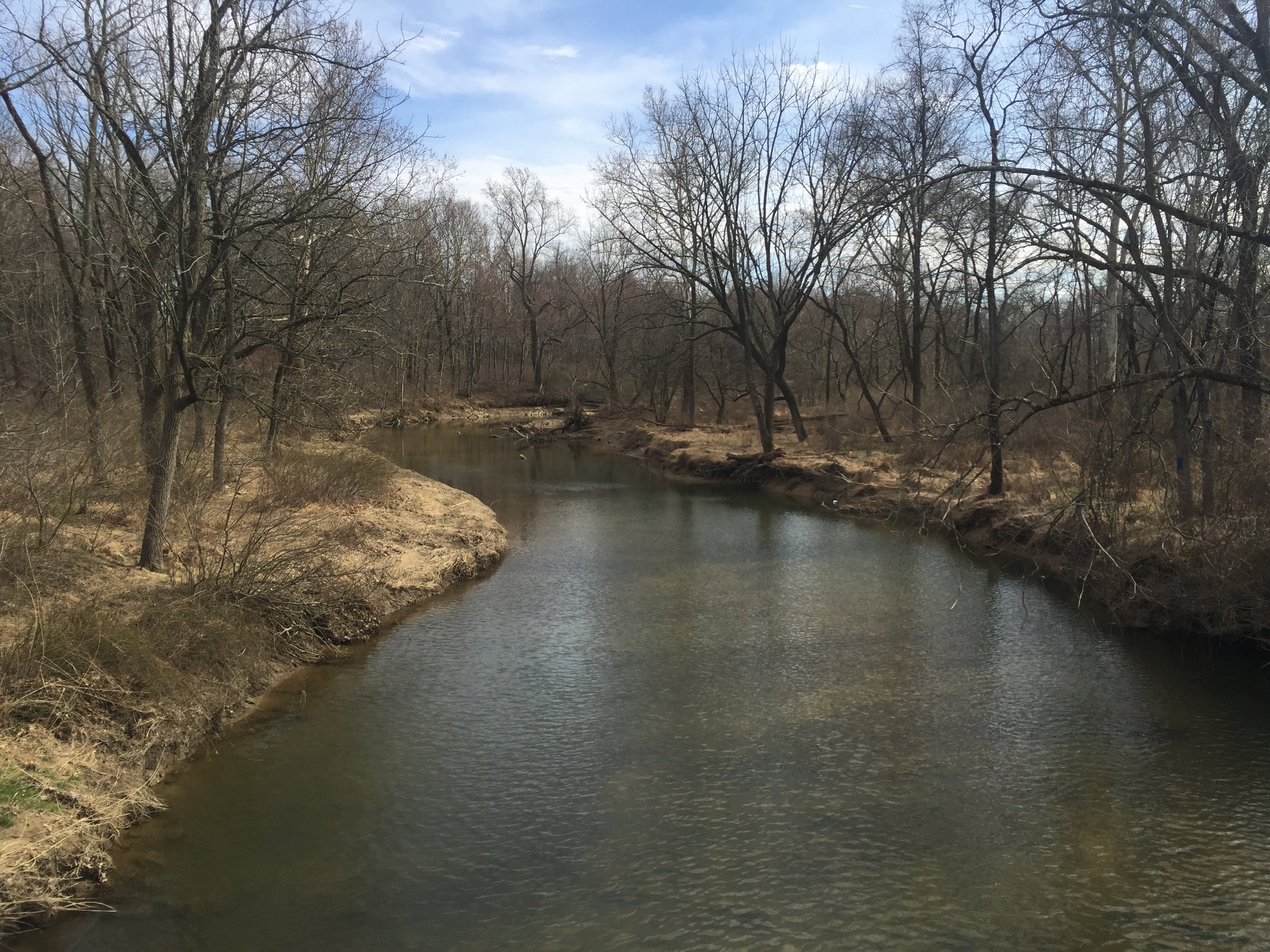
Ed Haile standing near Little North East Creek gives an idea of how far the marker is from the water.

This site is covered in thick overgrowth during the warm months. Fall or winter is the best time to visit.
About
The explorers examined this area apparently looking for inhabitants and found none. They ascended North East Creek as far as the fork of Little North East Creek.
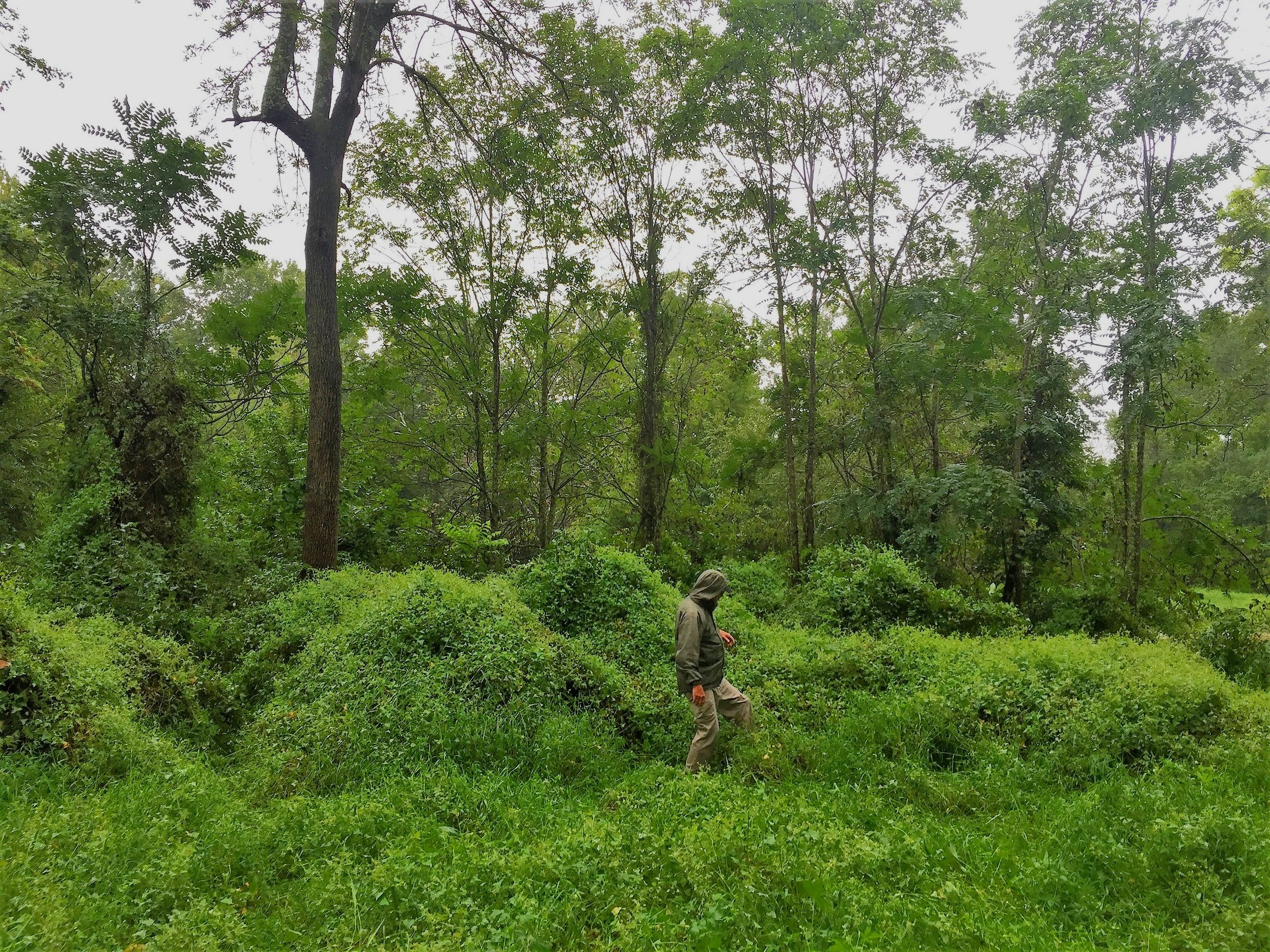
Walking through the overgrowth of tearthumb (also called mile-a-minute weed.) During the warm months, trekking to the marker is only for the very hardy.

Connie Lapallo standing near the marker with Little North East Creek behind.

Summertime at the creek shows its beautiful thick foliage.
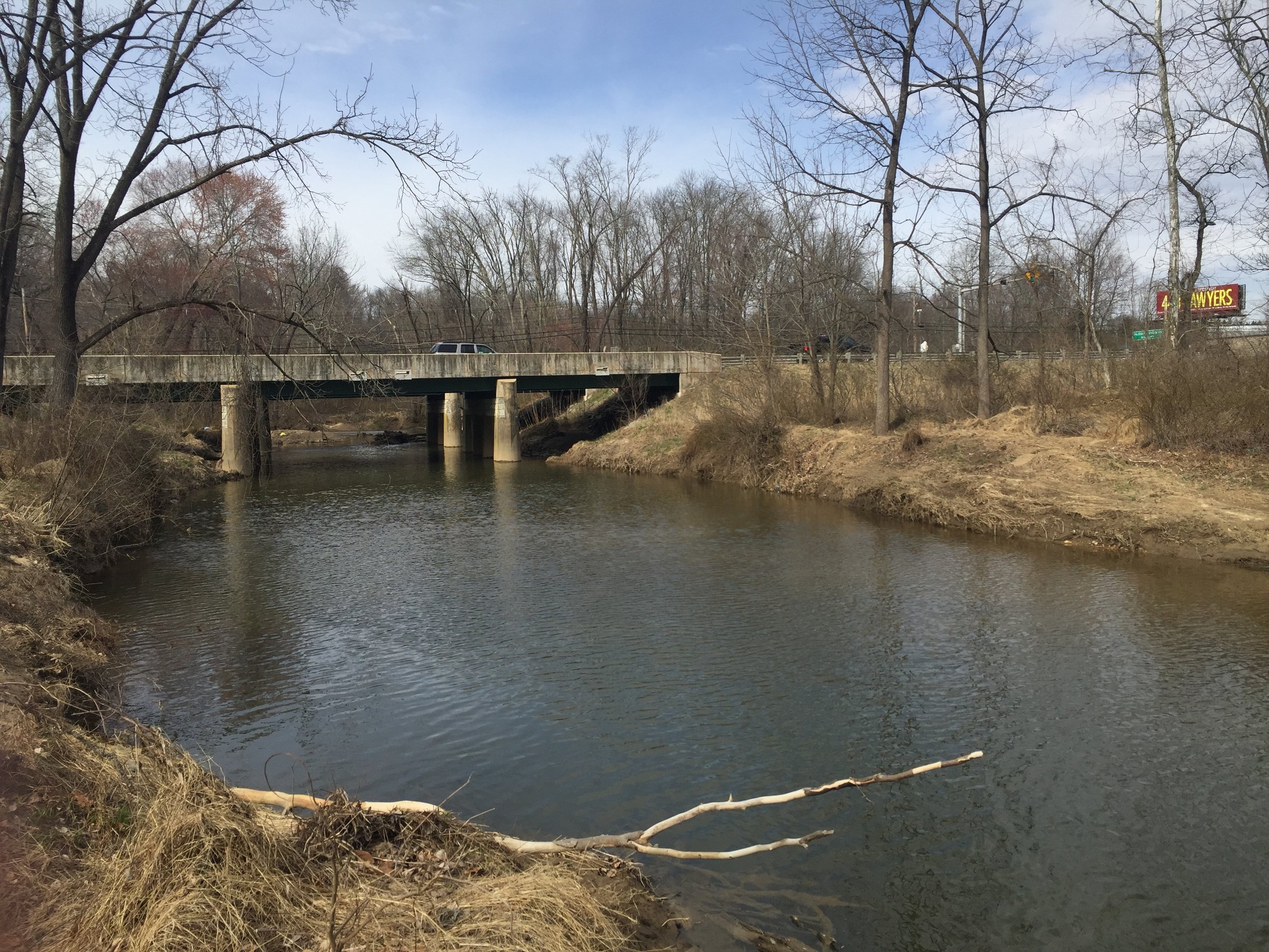
A view looking back toward the I-40 Pulaski Highway bridge from the banks of Little North East Creek.
Siting
Siting is in the fork as shown on the Smith map.
Visit
Private land, personal. Access is by land or by falling water in paddle craft. Limited parking is at a substation immediately east of the Route 40 bridge over Little North East Creek in the east-bound lane. Permission is not required but is advisable: Charles Narvel, 443-553-3419. Bryon Bodt’s tree coordinates: from the marker, bearing 300°~30yds± to a sycamore, bearing 183°~4yds± to a walnut, bearing 120°~30yds± to a walnut.
GPS Coordinates
39.6108, -75.9367
N39°36’39”xW75°56’12”

Checking the Garmin GPS coordinates by setting the device atop the marker.
