
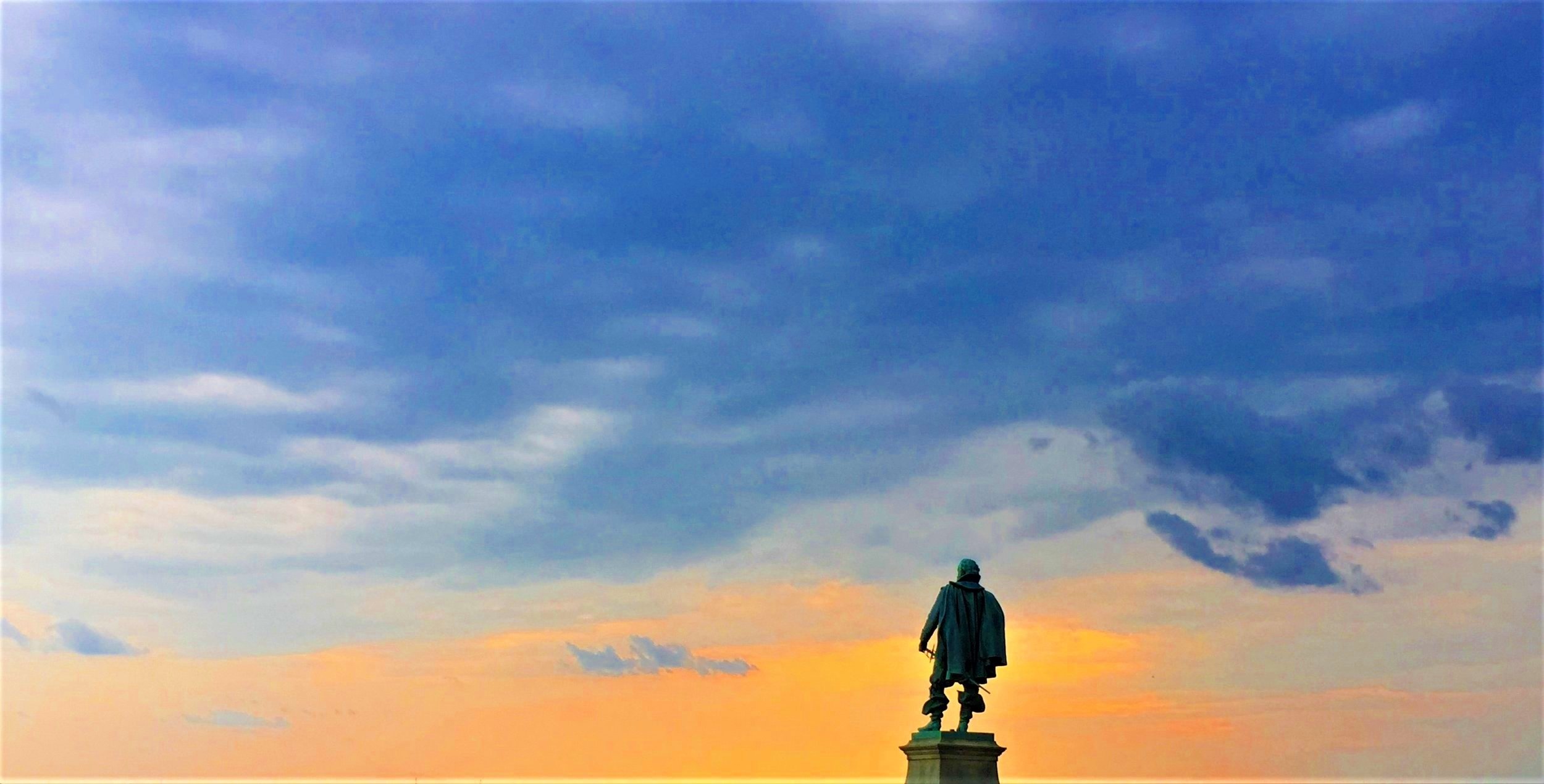
(17) “Tockwogh”
August 2-7, 1608
Galena, Md

Our cars can be seen at the top of the photo, showing how close parking is.

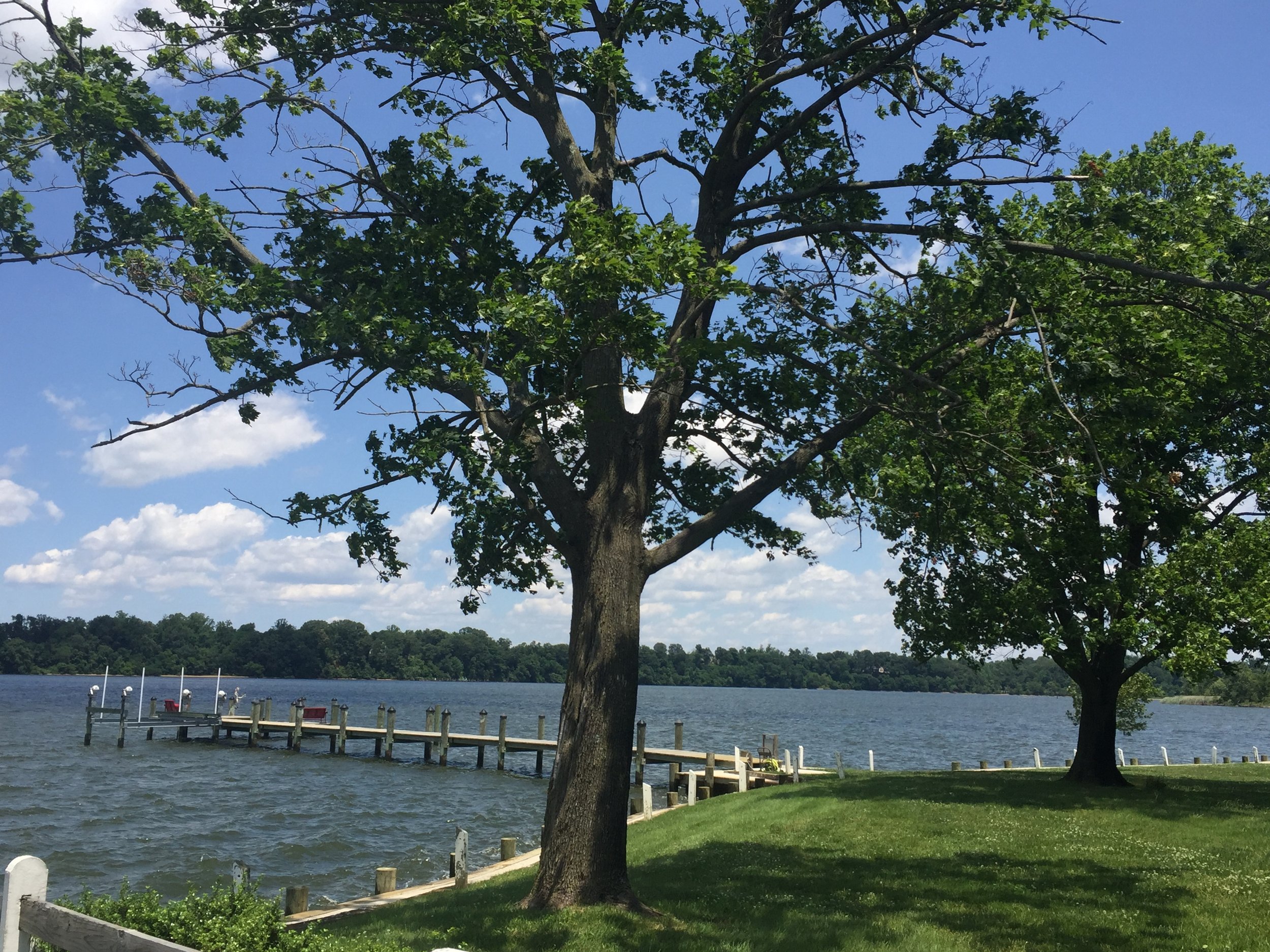

The marker site gives sweeping views of the Sassafras River and is easy to access.

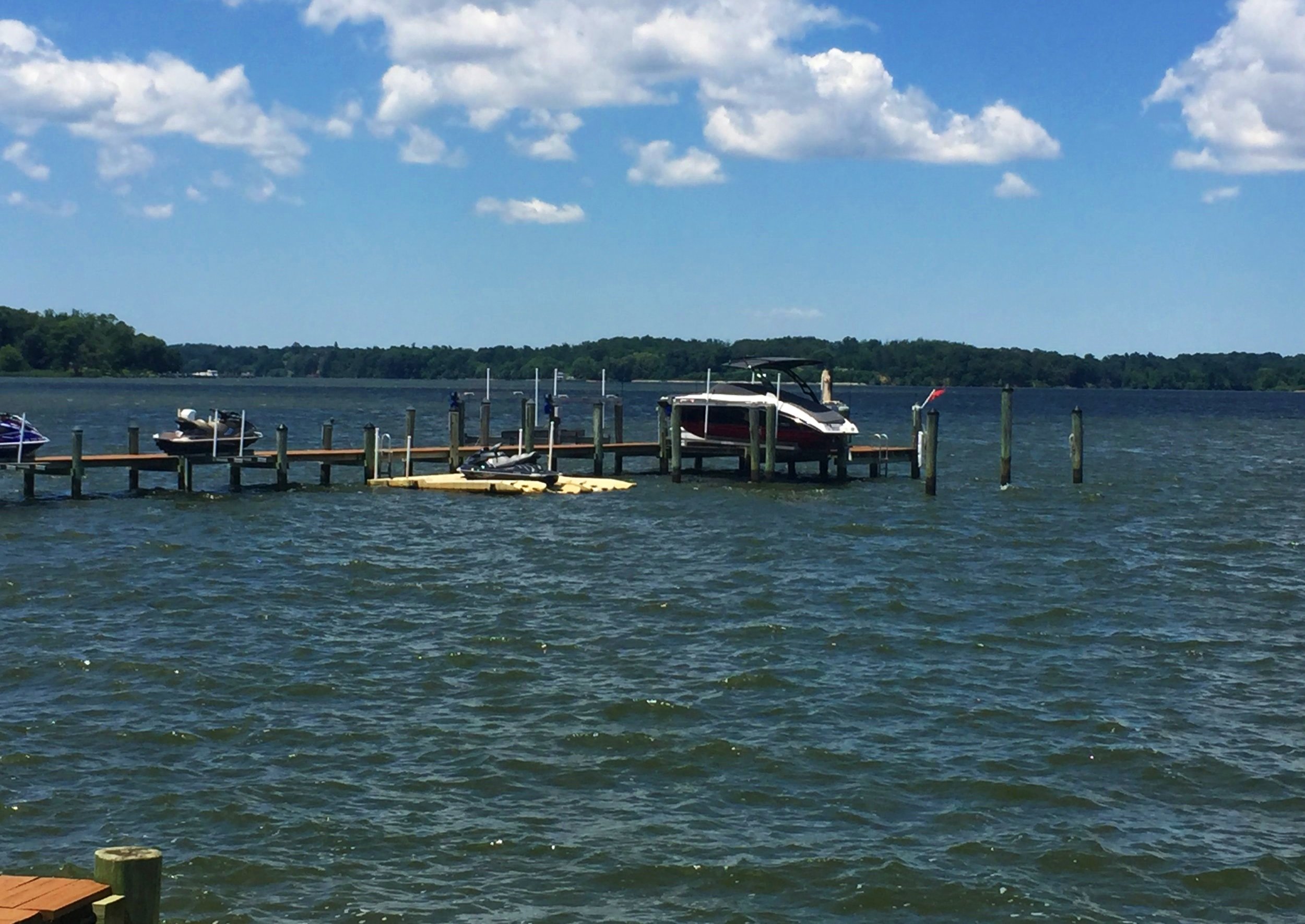
Another view of the Tockwogh (Sassafras) River, this one closer to where the Tockwogh tribe lived.
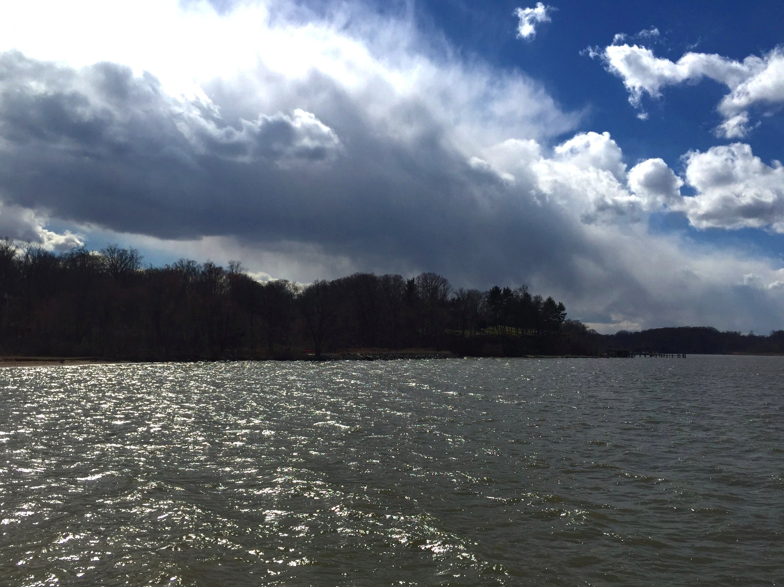
The River of the Tockwogh tribe, also called the Sassafras River.
About
On their second voyage up the Bay, the shallop crew put in to the Tockwogh (Sassafras) River, and at the village of that name were welcomed on two visits over five days. While there, the shallop went two miles further upstream, perhaps to take soundings. It is unlikely Smith explored further once the Tockwogh assured him this was no passage to the sea.
Siting
Siting is from the Smith map allowing for an attenuated east-west scale in plotting the river above the king’s house from the vicinity of Kentmore Park.
Visit
Public right-of-way, end of Shallcross Wharf Rd. Access by land with parking at dead end or by tidal water beside riprap.
GPS Coordinates
39.3647, -75.9392
N39°21’53" xW75°56’21”