

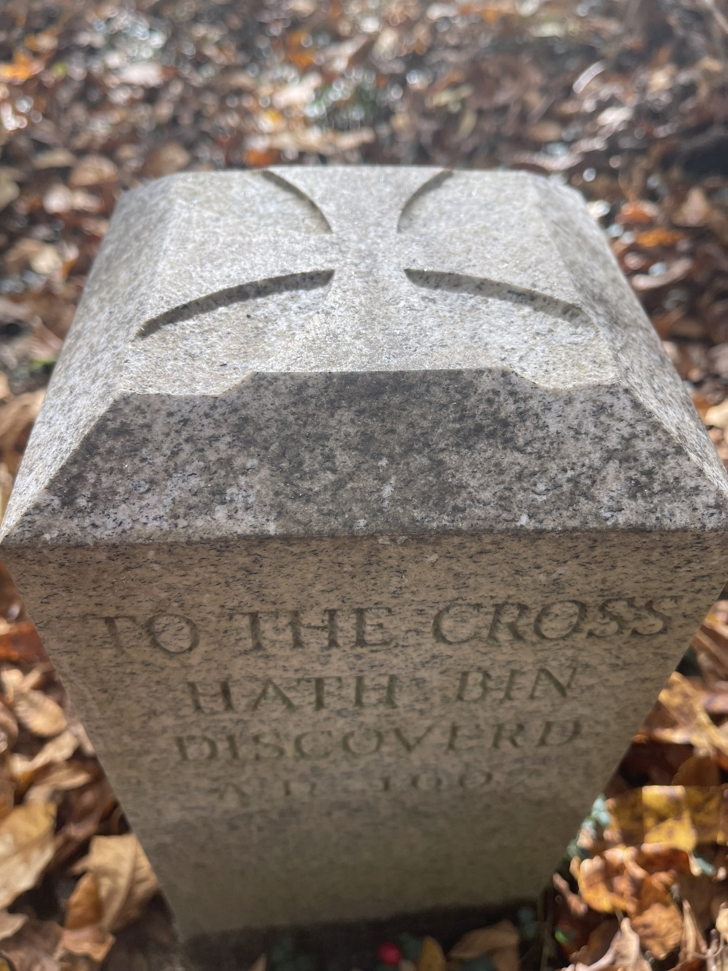
(3) Mattaponi River
16 December 1607
Aylett, VA

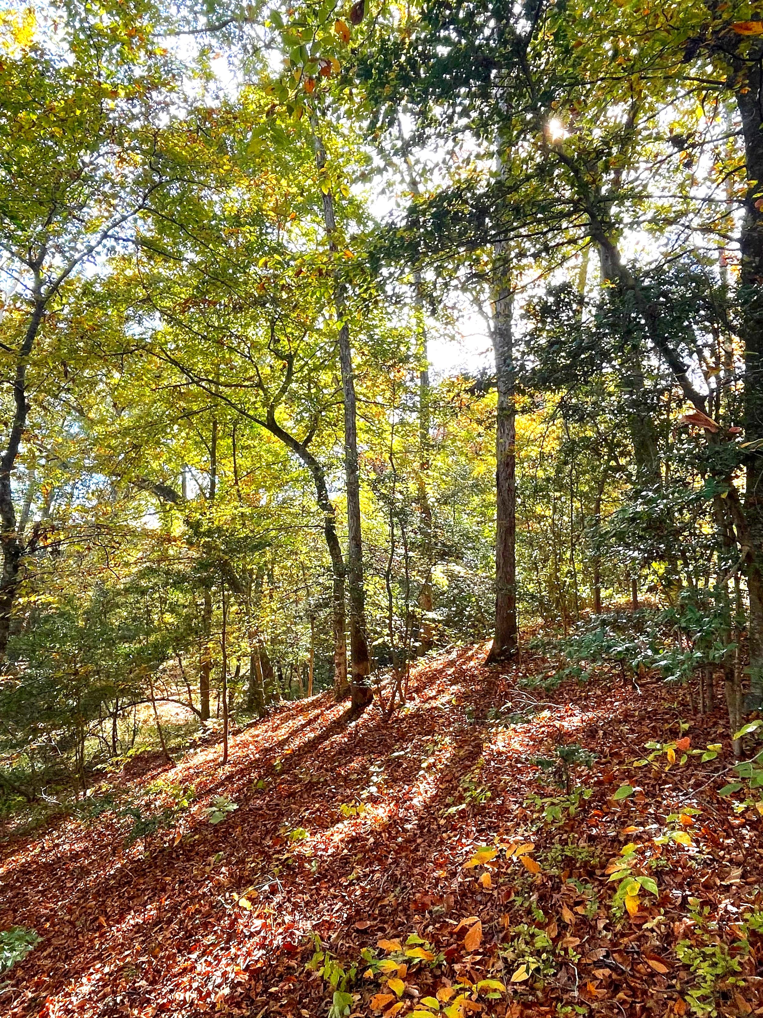
Climb the steps to the north from lower parking and the marker is on the left.
About
Capt. Smith, a prisoner of Opechancanough, on a forced march up the north bank from the vicinity of Walkerton, forded the Mattaponi River here on the way to returning to his hunting camp. Downstream was apparently icing over, preventing crossing by canoe on the lower river.
Siting
Siting is taken from the Smith map and the location of Herring Creek bar, being the first fording point in the river above tide. Smith mapped his cross on the north bank. Insofar as this was a fording point, the Project chose to offset the marker 200 yards from the north to the south bank for convenient access.

A view of Herring Creek from the bluff near where the marker sits.

Herring Creek looking lovely with fall reflections.

Herring Creek joins the Mattaponi River at Zoar State Forest to form a sandy bar nearly to the far bank.
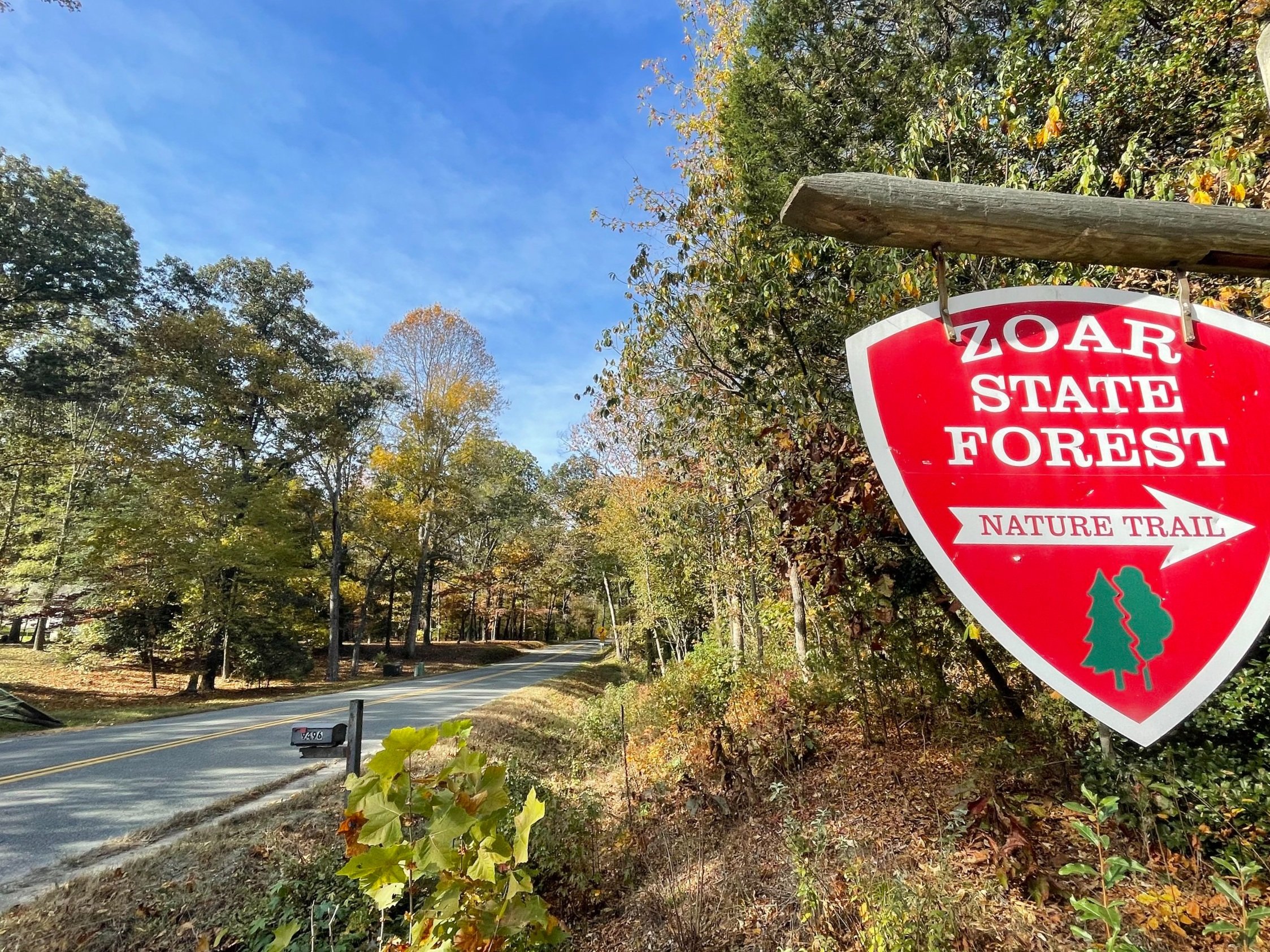
Visit
Public land, Zoar State Forest
A south-bank placement has been chosen for convenient access, which is by tidal water or by land with lot parking adjacent.
GPS Coordinates
37.8089, -77.1219
N37°48’32”
x W77°07’19”