

Mockhorn Bay
3 June 1608
Oyster, VA

Connie Lapallo and Jim McGowan of the Virginia Coast Reserve, part of the Nature Conservancy. Jim helped us set the marker. (Photo: Ed Haile)

About
After dropping the tow of the ship Phoenix, bound out, the crew of the shallop cross from Cape Henry to Cape Charles, coasting west along Smith Island, and use a flood tide to help them row and sail up Magotha and Mockhorn bays. As the tide turns ebb, they use Narrow Channel Branch to approach the shore through marsh, and leave a cross on an adjacent knoll to the north.
Siting
Siting is from the position of the small mapped islands halfway between the cape and the cross, the turn of the shoreline to the northeast, a navigable channel into the shore, having an adjacent high point.

The location of Narrow Channel Branch gave clues to where the marker should be. Here it is at low tide.

Narrow Channel Branch at high tide.
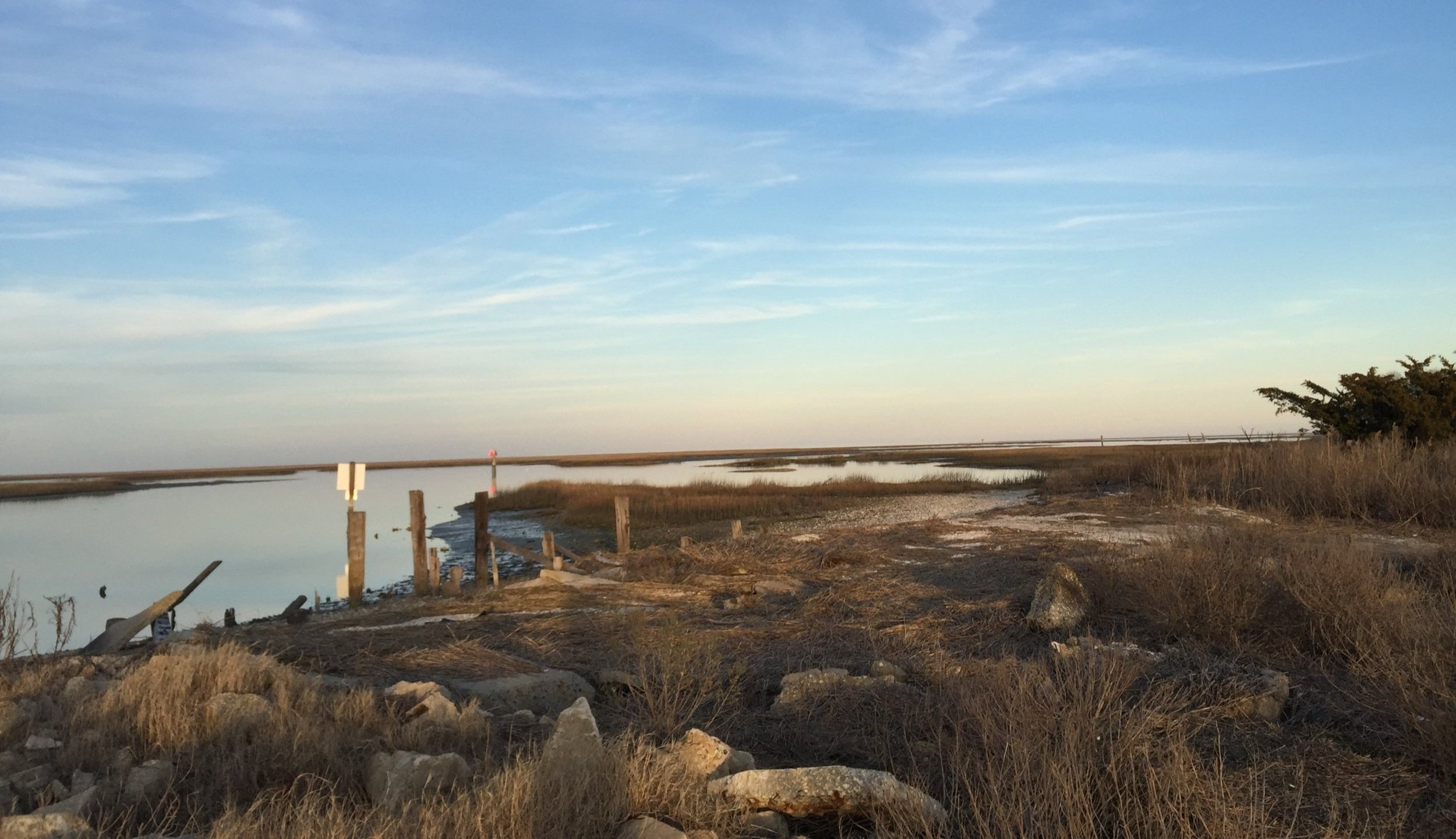
A view of Mockhorn Bay from Oyster, Virginia.

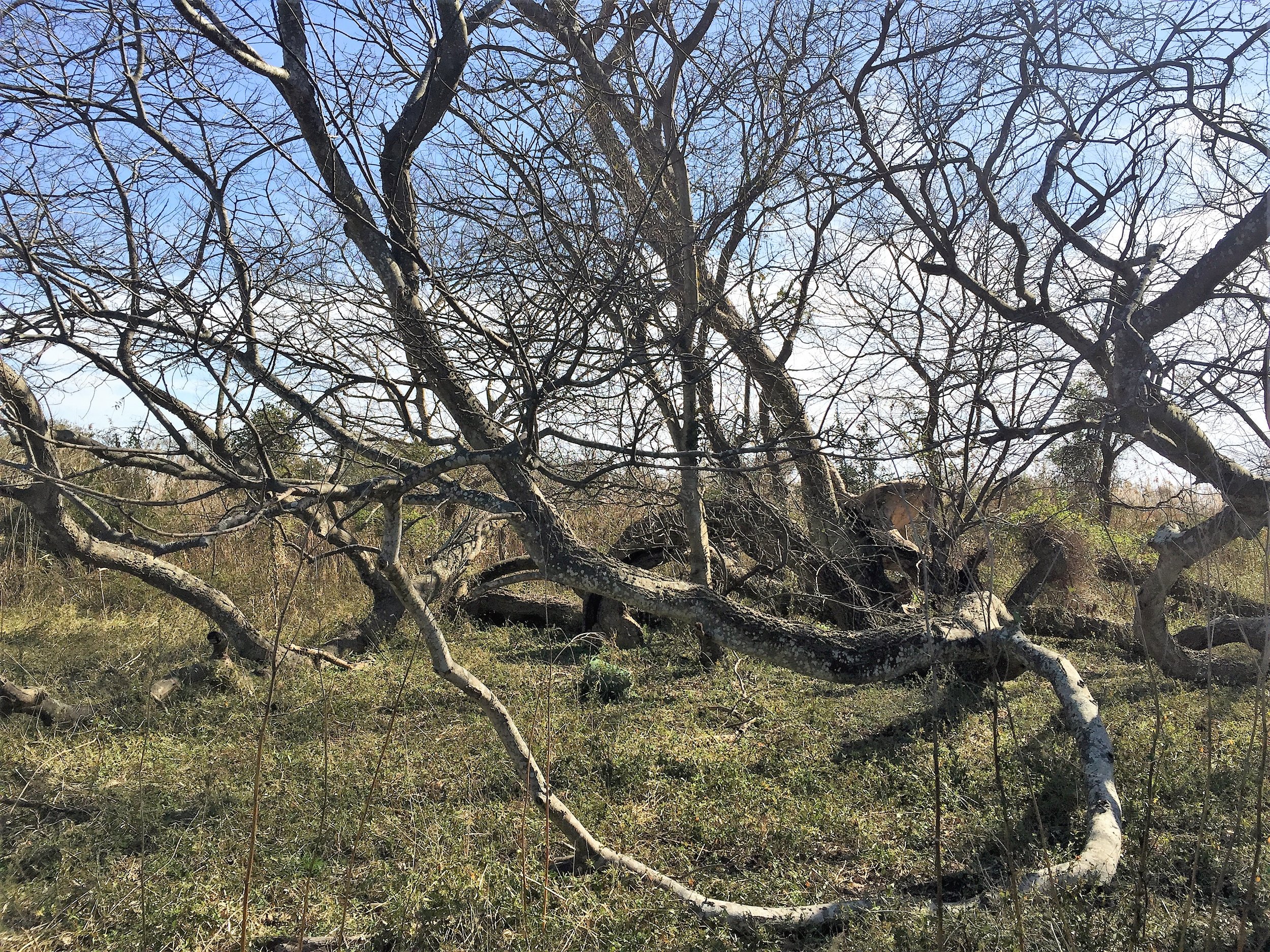
The Mockhorn Bay site is also home to a remarkably massive and ancient hackberry tree whose limbs snake across the ground.
Visit
Private land, institutional. Hillcrest Farm, parcel 85-A-23, The Virginia Coast Reserve. Access by land and water is by permission of the Virginia Coast Reserve, 757-442-3049.
GPS Coordinates
37.2833, -75.9283
N37°17’00”xW75°55’42”

Make sure to drive through little Oyster, Virginia, while you’re seeing the Mockhorn Bay cross. It has its own charm.

Oyster, Virginia, on the Eastern Shore, gives all kinds of interesting glimpses of sea life.

Conch shell discards in Oyster, Virginia near Mockhorn Bay.

