
(11) Potomac River
26 June 1608
Seneca, MD

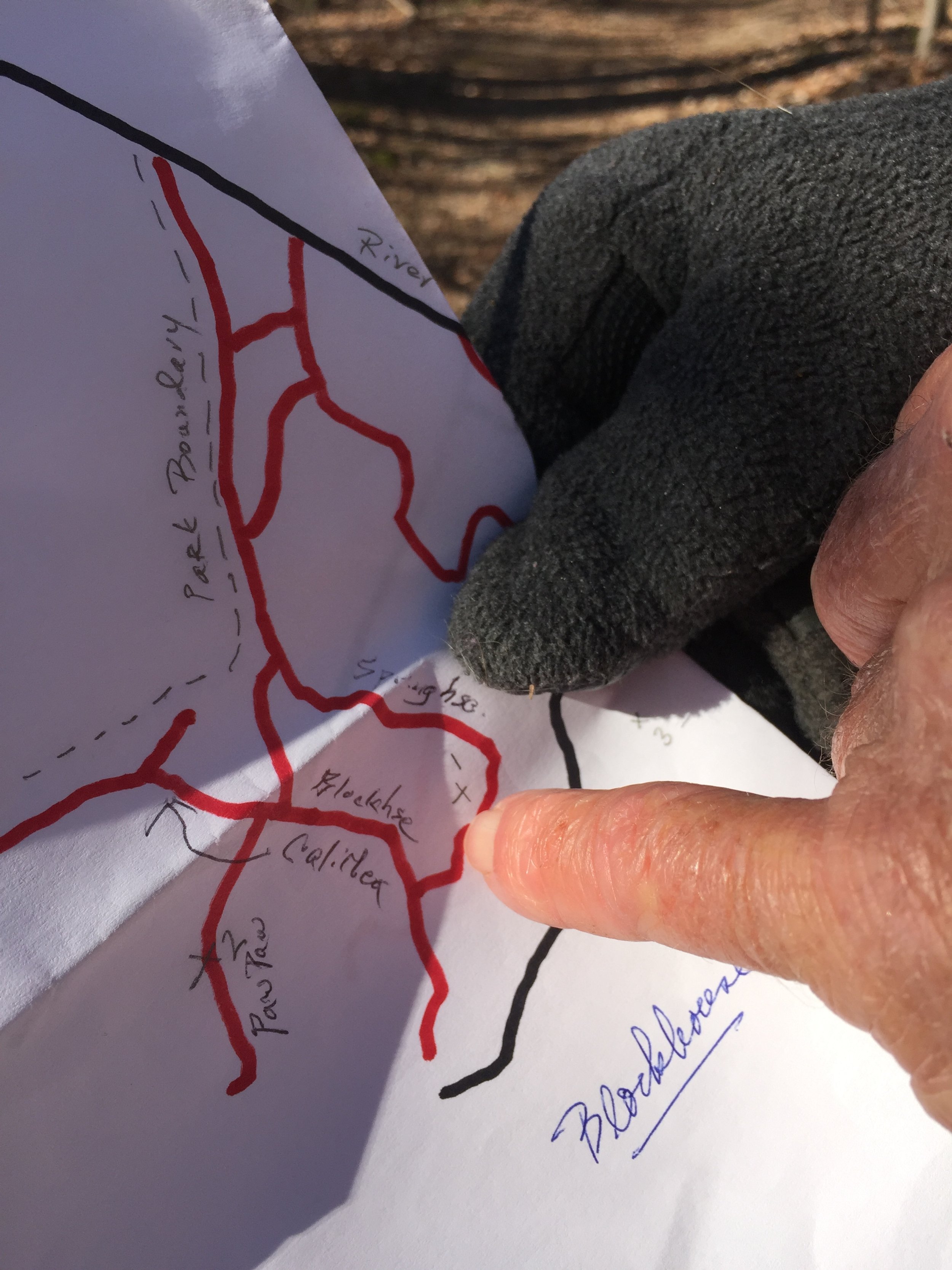
The trails near the highest point in Blockhouse Point Point.
About
Capt. Smith sailed up the Potomac River in search of the Northwest Passage in hopes of an open waterway to the Pacific Ocean or at least a route to the heart of the continent with perhaps valuable mineral resources along the way. He left the shallop anchored at the head of navigation and journeyed 16 miles on foot up the north bank.
Siting
Tributaries, mileages, and river shape on Smith’s 1612 map easily match modern topography at Blockhouse Point. Smith also noted Sugar Loaf Mountain, impossible to be seen further downriver.

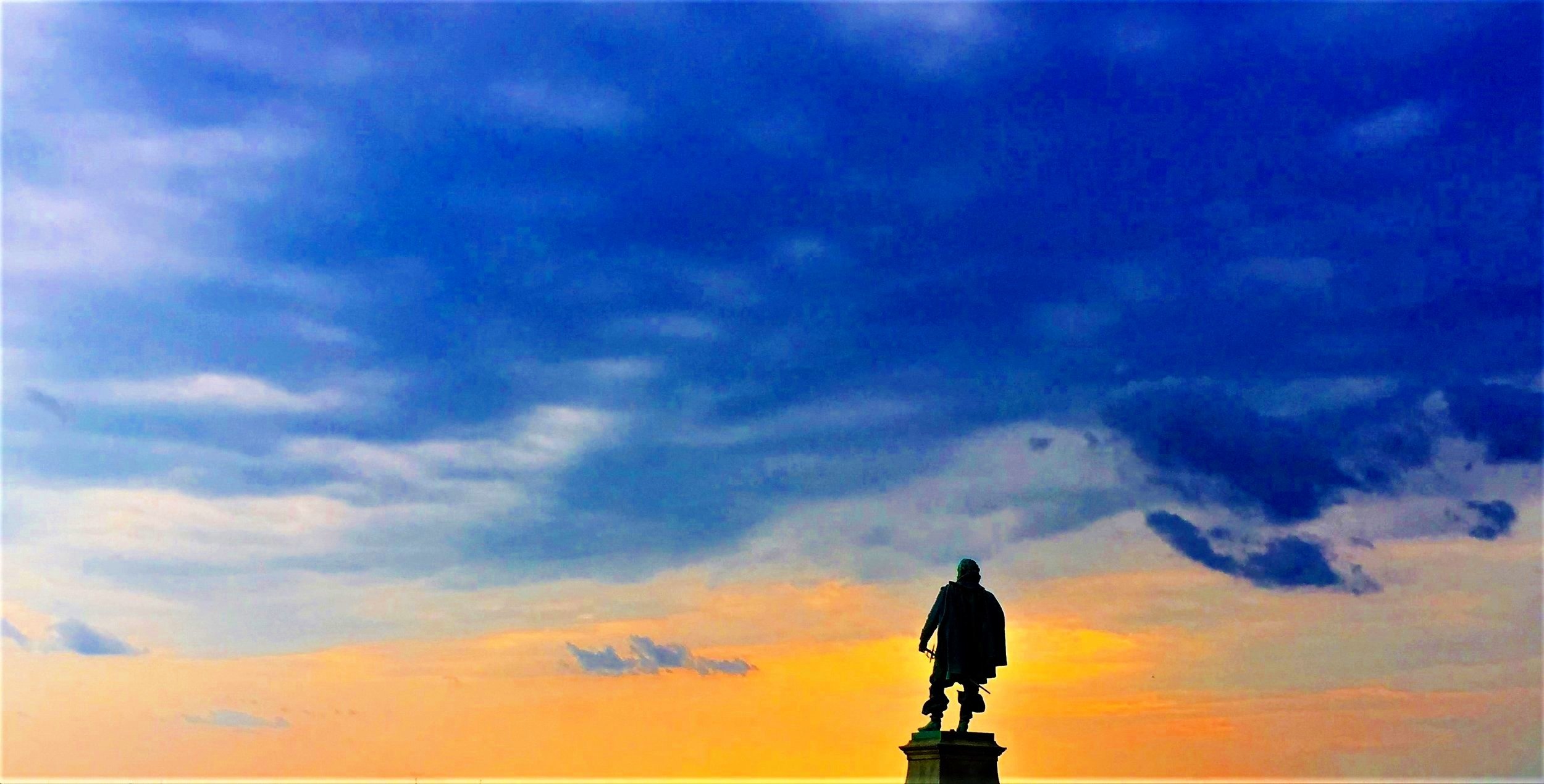
View from bluffs of the Potomac River in Blockhouse Point Conservation Park & Trails in Potomac, MD.

Ed and Connie pay a visit to Dr. Stephen Potter’s house in 2018. As a National Park Service archaeologist, and expert on the Potomac tribes, Dr. Potter’s insights and support were a great help to the team. His collection of books along with ours make for quite a spread of Smith research!
(All photos: Connie Lapallo)

Visit
Not set. Proposed site is atop a bluff overlooking the river in Blockhouse Point Park.

Connie takes a compass bearing.

Dr. Stephen Potter, NPS archaeologist, provided insight and expertise to the Potomac site. (Contributed photo).