(10) Blands Content
13 June 1608
Elkridge, MD

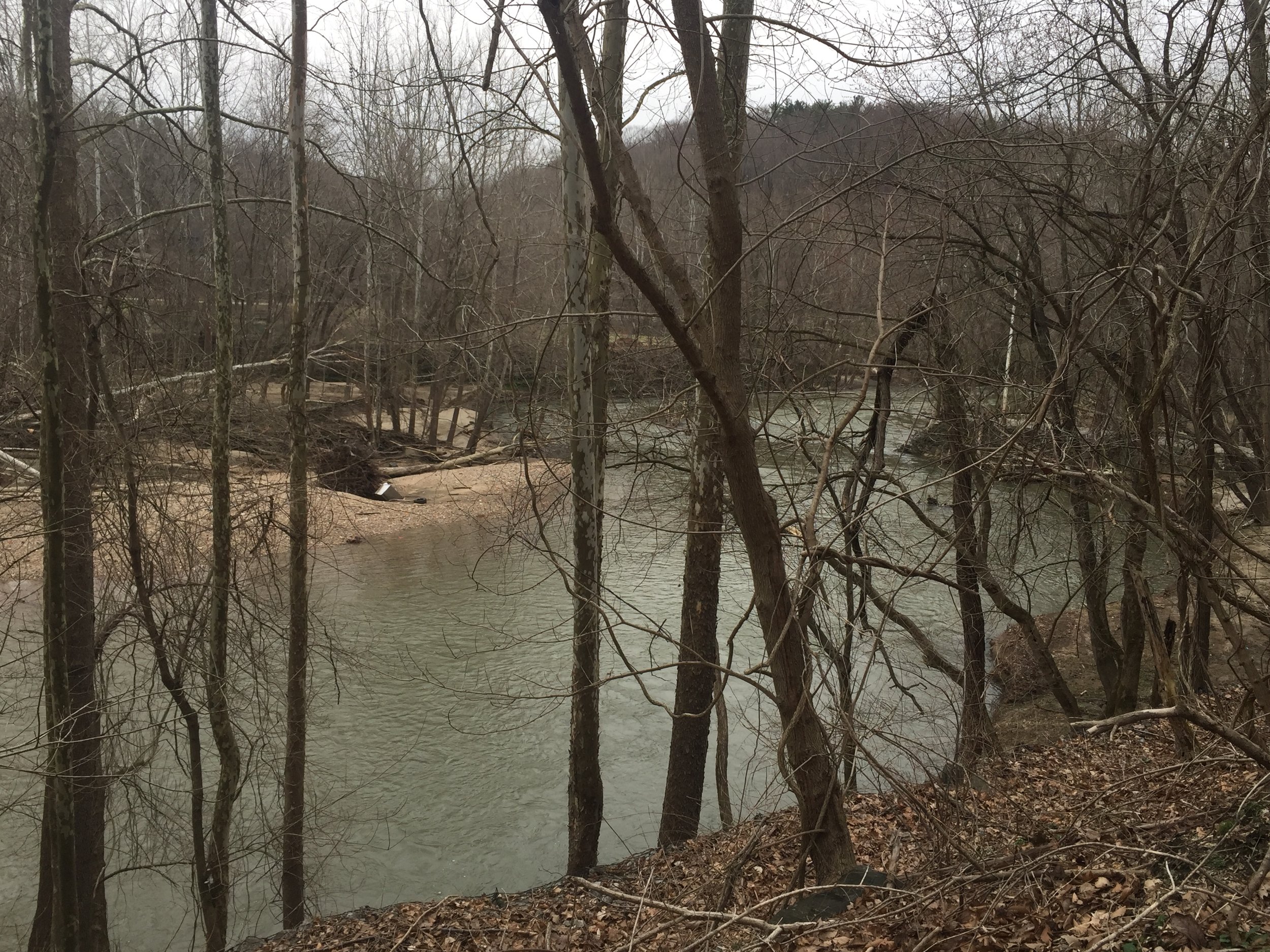
The marker is on a high bluff overlooking the Patapsco River in Patapsco Valley State Park.


“Where would Smith have left a marker on this bluff?” —Ed


About
Capt. Smith’s shallop entered Bolus (Patapsco) River, explored several inlets, rowed to the head of tide. A party climbed a nearby hill to leave a cross at the furthest point the explorers reached on their first expedition up the Bay before returning south to explore the Potomac River.
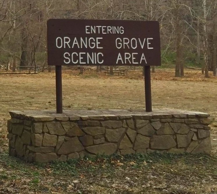
Site
Siting criteria are based on the Smith map and the position of hills, the four streams, and the head of tide 400 years ago prior to extensive sedimentation.
Visit
Public land, Patapsco Valley State Park
Access is by land with lot parking in the Avalon Area. The cross is a half mile along trails from either parking or waterside.
GPS Coordinates
39.2278, -76.7297
N39°13’40” x W76°43’47”
Special thanks to archaeologist Wayne Clark for the determination of this site.