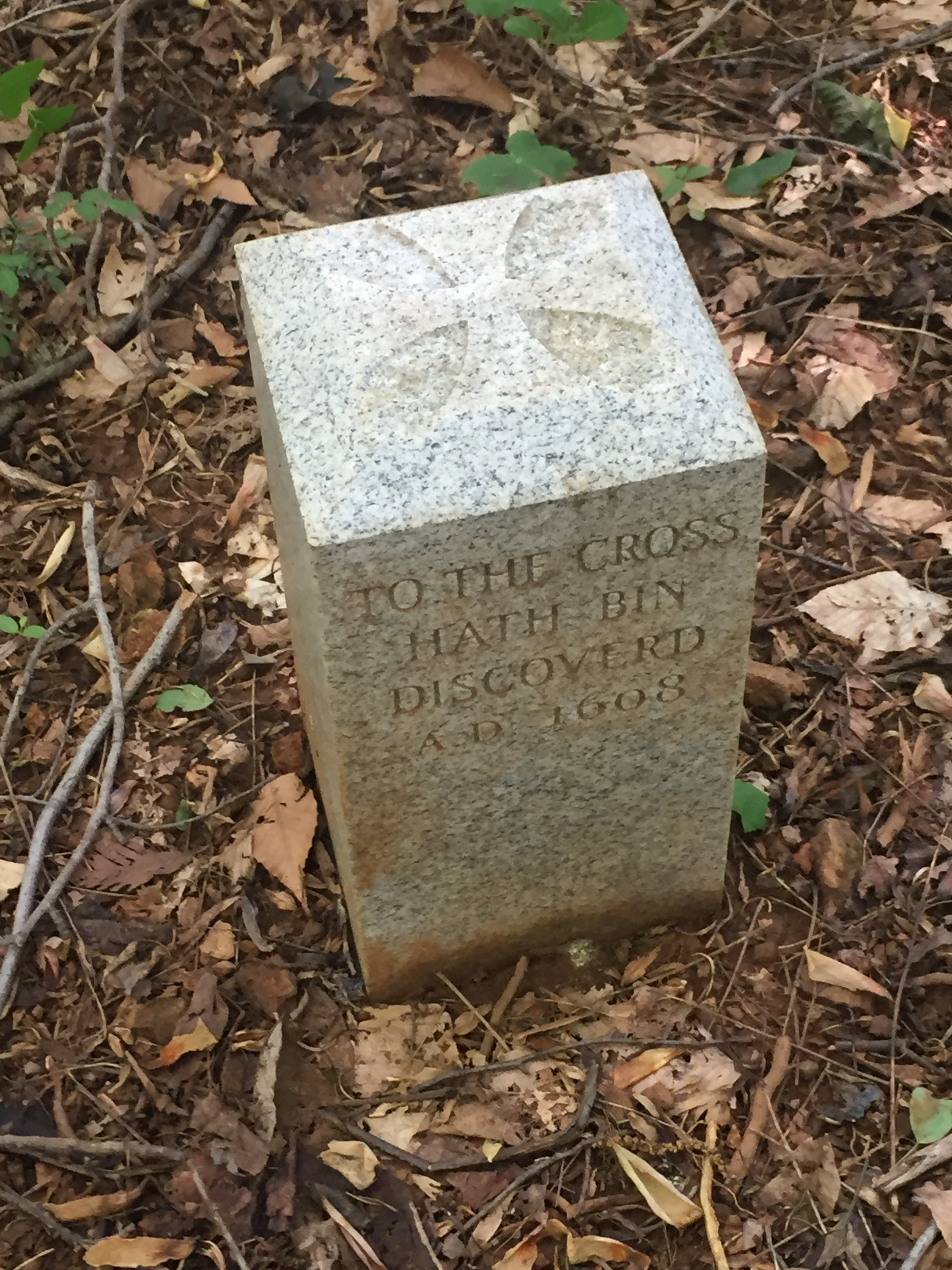
(16) “Peregryns Mount”
5 August 1608,
Newark, DE


The water tower behind the trees is a clue to the marker location, which is nearby.

With the Delaware contingent, studying the map of Iron Hill. New Castle County Parks’ Jonathan Husband on the left.

Bryon and Ed
About
The friendly Tockwogh Indians through the tribe’s Powhatan language interpreter had apparently advised Capt. Smith of another great body of water to the east. The explorers ascended the Elk River and marched overland to this 350-foot summit but did not see Delaware Bay or discover a northeast passage out of the top of the Chesapeake. Henry Hudson, a friend of Capt. Smith, entered Delaware Bay a year later but pronounced it too shallow for ship navigation.
Siting
Siting is based on the Smith map and Iron Hill as the highest and furthest east among hills nearby where the shallop landed at the head of the Elk River.
Visit
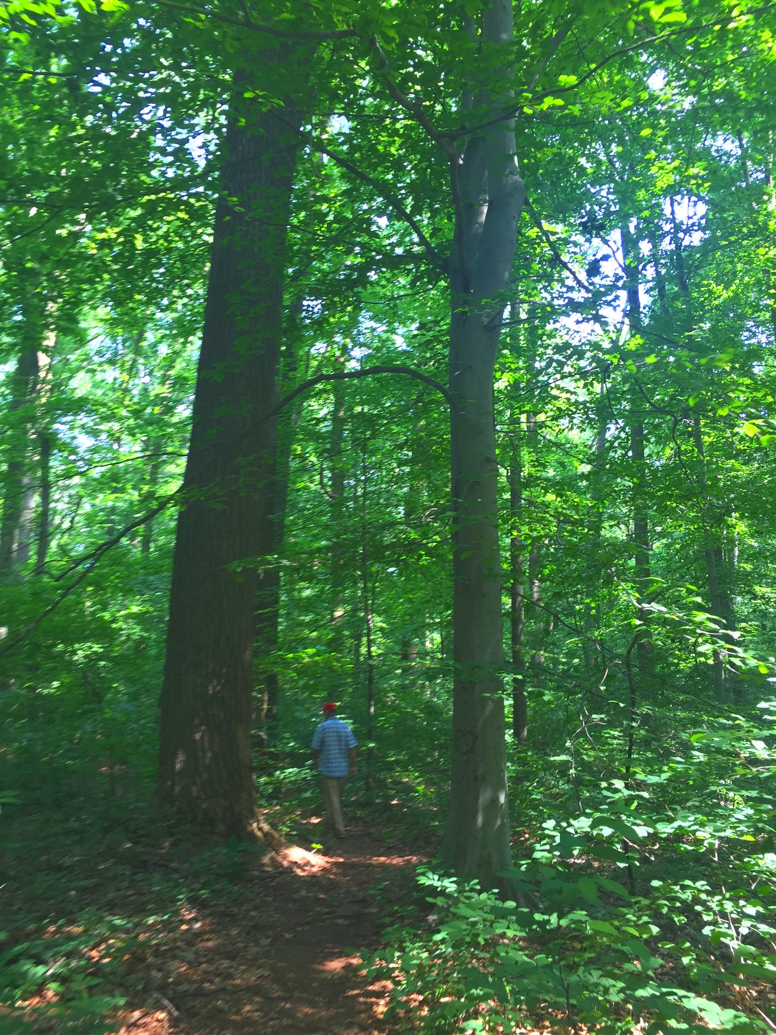
Public land, Iron Hill Park
Access is by land in lot parking on Iron Hill and a quarter-mile trail to the summit. Bearing 270° from the marker to the center of the water tower 100 yds±.
GPS Coordinates
39.6406, -75.7522
N39°38’26” x W75°45’08”