

Restoring Smith’s own Waypoints along the Captain John Smith Chesapeake National Historic Trail
This is the Cross Project, a volunteer undertaking to place a granite marker at the site of 24 of the 27 crosses seen on Smith’s map, “VIRGINIA discovered and discribed.” The three crosses eliminated are the “Exceptions” noted in SMITH’S CROSSES: Mangoags, Chawons, and Cape Henry south.
No originals have yet been identified.
It was decided from the first that the markers would go exactly where Smith put them, “beside the same tree if we can find it.” The table on Accuracy shows the result. Only two markers so far out of 21 are offset from best-guess.
Location clues in order of importance are
Smith’s map
Smith’s “journal” (derived from his collected works)
Smith’s route as established
tides
USGS and aerial maps
old maps
ground inspection
public records
consultation with local history people
Curiously lacking has been evidence of any former attempts to do the same thing.
As of October 2020, the Project has restored 21 in Virginia, Maryland, and Delaware. Two have been deliberately offset from the original sites: (3) Mattaponi and (12) Burtons Mount.


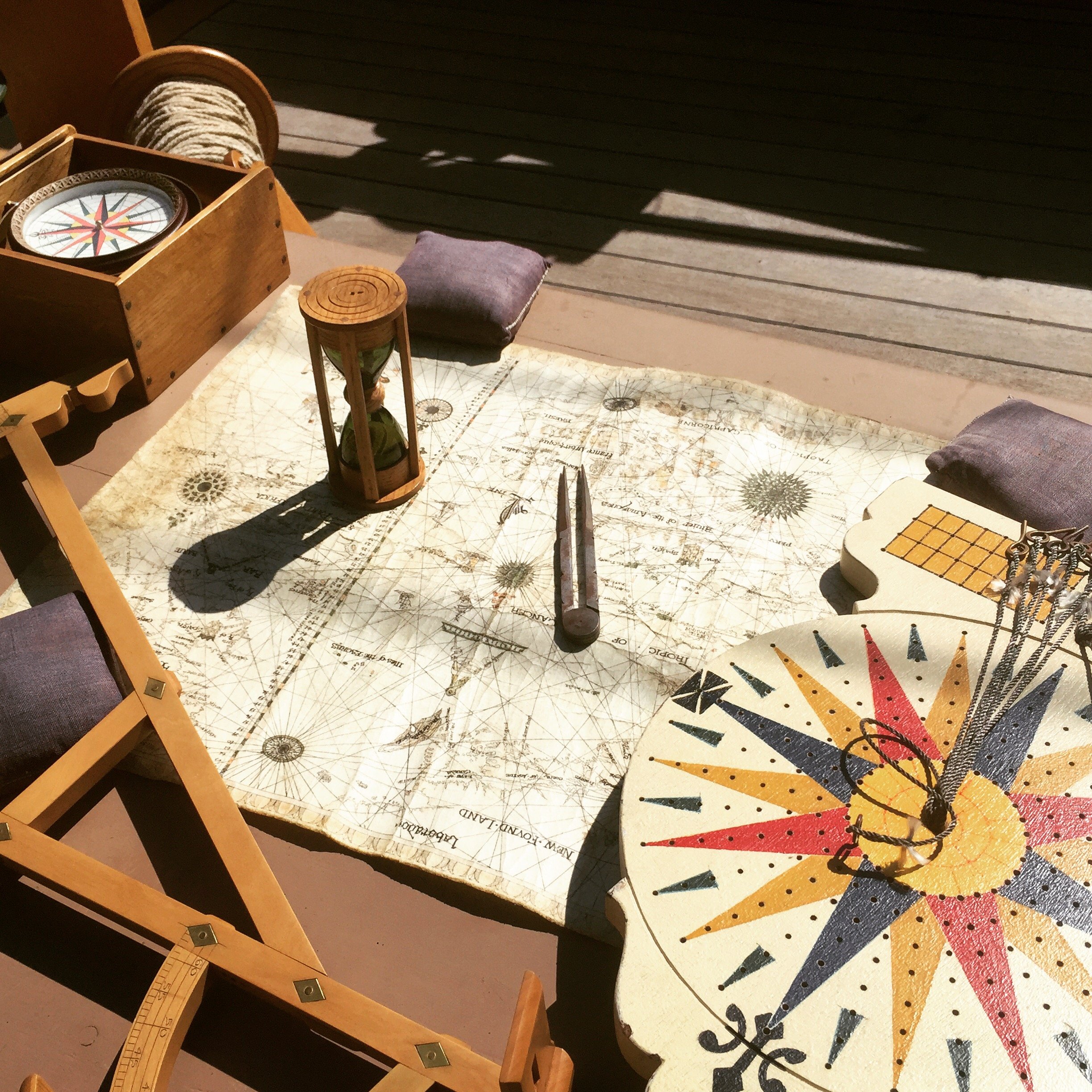
Seventeenth century navigational instruments. (Photo: Connie Lapallo)
“Wee sayled so high as our boat would float, there setting up crosses and graving our names in the trees.”
—Capt. John Smith

A medieval pilgrim’s cross likely similar to Smith’s crosses
“In all those places and the furthest we came up the rivers … in some places [we left] crosses of brasse to signifie to any [that] Englishmen had been there.”
—Capt. John Smith

The Sultana Shallop, a replica of the shallop Smith used to explore the Chesapeake Bay. (Photo: Chris Cerino)

“… in which map observe this: that as far as you see the little crosses on rivers, mountains, or other places, have been discovered.”
—Capt. John Smith