

(6) “Teracosick”
13 April 1608
Suffolk, VA

The Nansemond River is just behind the marker.
About
Capt. Smith first visited the Nansemond Indians by water on an expedition trading for corn to replenish food supplies at Jamestown. Five months later on September 5, he and his crew returned at the end of their second Chesapeake Bay voyage and ascended the river to where a water skirmish occurred with the Indians immediately north of this site.

Tom and Ed.

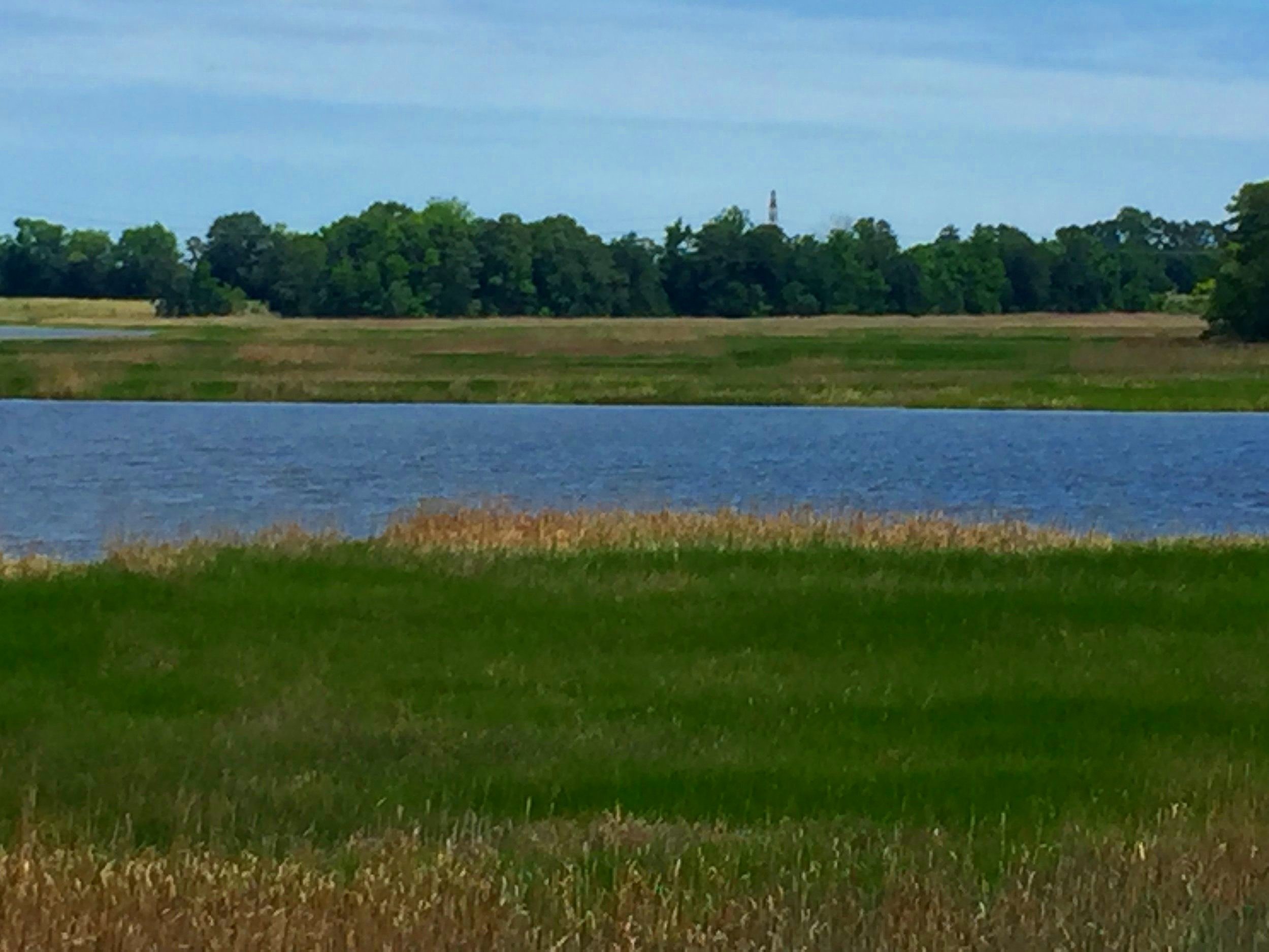
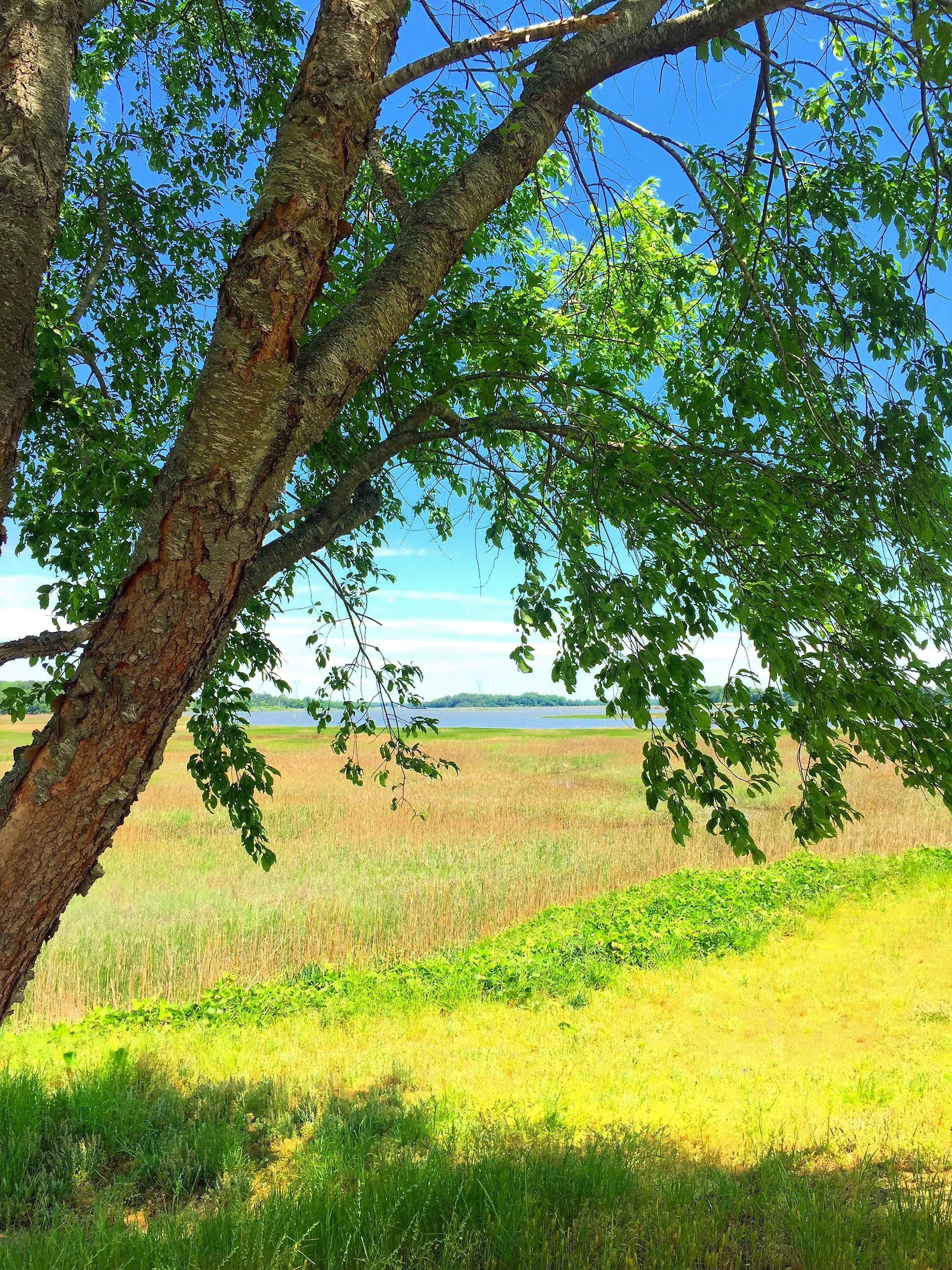
The winding Nansemond River

Ed and Connie escorted past Jamestowne Society National Governor Joe Barlow and his wife Lynn to the Nansemond River in the fall of 2015. We placed the marker about six months later.


Ed setting the marker
Siting
Siting is taken from the Smith map and writings.

Visit
River Highlands community
Terry-Peterson Construction, Inc. Private land, common area. Access is by land through subdivision streets. Tidal water access is possible by wading through a fringe of marsh. Contact Tuck Bowie, 757-932-7458.
A sidewalk leads most of the way to this scenic cross overlooking the Nansemond River. The marker happens to be in the parapet of Civil War-era Fort Huger, west end.
GPS Coordinates
36.7847, -76.5617
N36°47’05”xW76°33’42”
All photos: Connie Lapallo

