
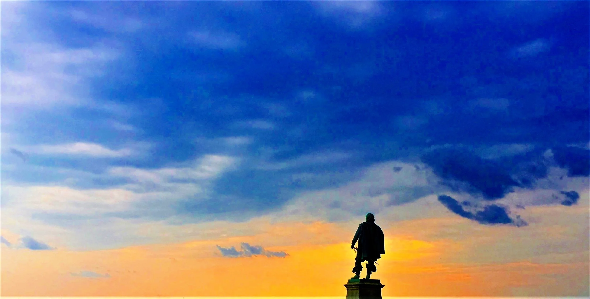
(21) “Chesapeake”
4 September 1608
Norfolk, VA

We walked the Ballentine School grounds with Shawn Krawetzki to select a site. Ultimately, we chose one near the tree and bench, although the tree has since come down.
About
The explorers, nearing the end of the second voyage up the Bay, turned into the Lafayette River. The journal reads, “So setting sayle for the Southerne shore, we sayled up a narrow river up the country of Chisapeack; it hath a good channell, but many shoules about the entrance. By that we had sayled six or seaven miles, we saw two or three little garden plots with their houses … not seeing or hearing any people, and the river very narrow, we returned to the great river.”
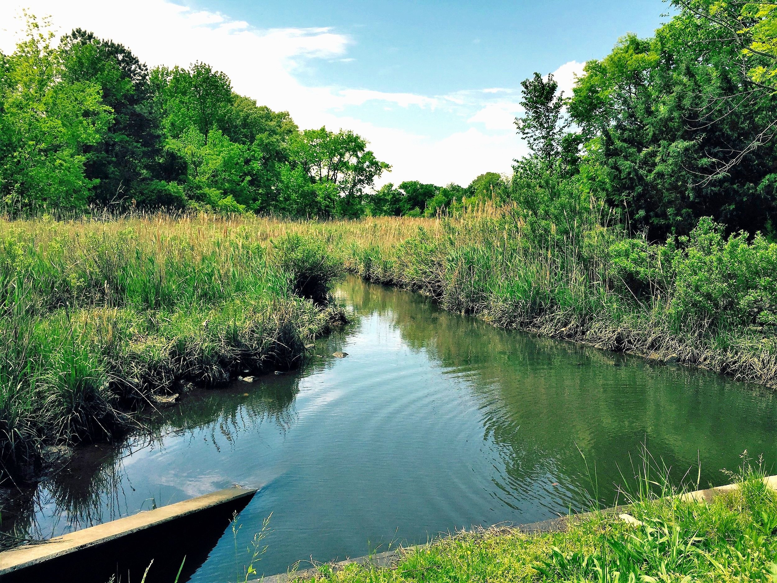
The Lafayette River

Head of the Lafayette River, Ed installs a marker while Connie gives an interview for Norfolk schools. A resettled Chesapeake village. Powhatan had recently ordered the extermination of the original inhabitants. Jamestown believed it was for harboring survivors of the "Lost Colony."
(Photo: Bess Haile)
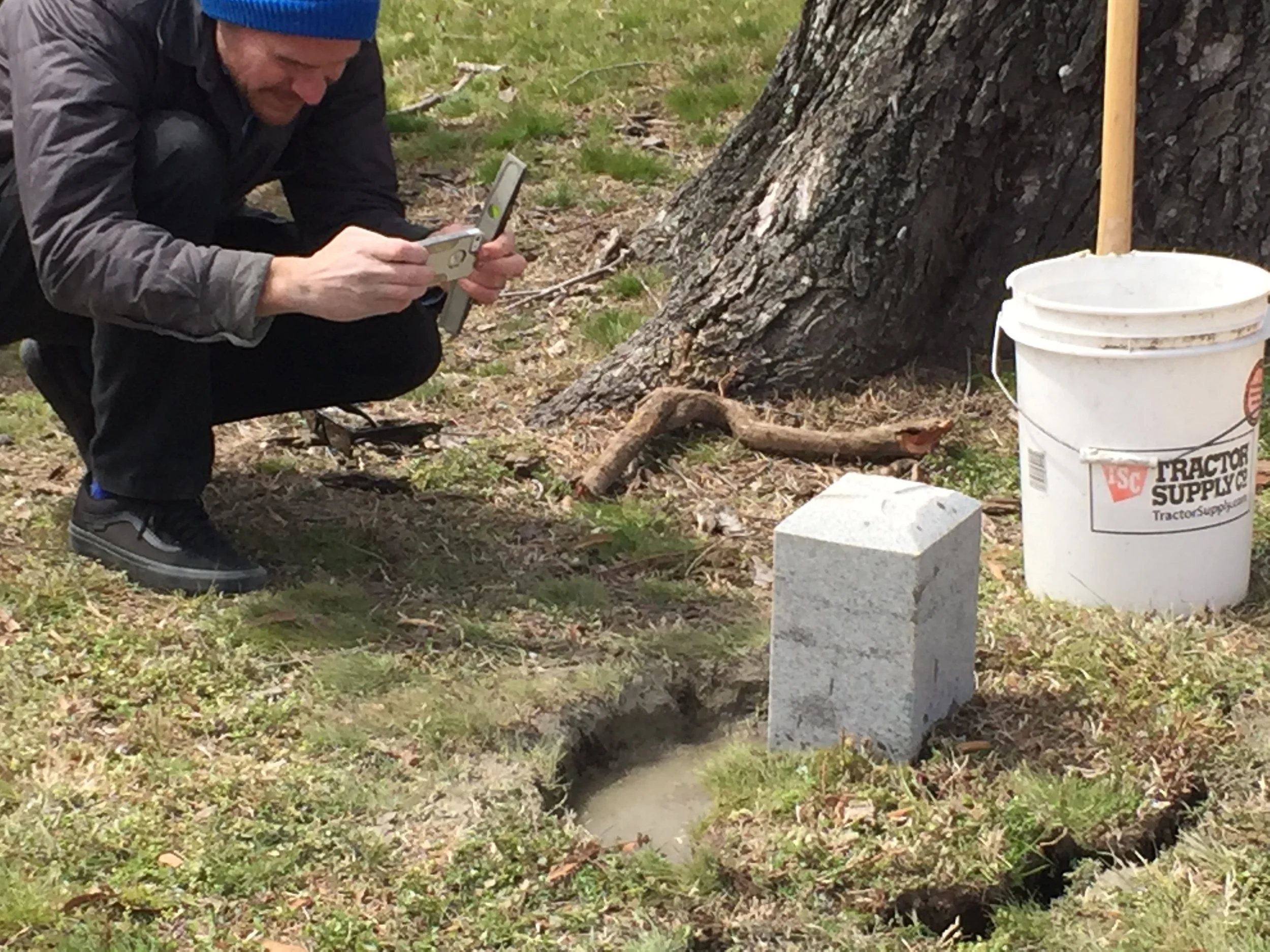
Ben Kane (pictured above), GIS Specialist with the City of Norfolk, was instrumental in helping us gain approval from the city to install the marker.
Siting
Siting is by the Smith map and the above description that immediately eliminates any other estuaries from Lynnhaven Creek to Broad Creek. The explorers arrived around high water.
Visit
Public land, Ballentine Park.
Access is by land in lot parking or by high-tide water to the head of the river at the culvert on Harrell Ave.
GPS Coordinates
36.8650, -76.2528
N36°51’54”
xW76°15’10”
