

(14) “Smiths Falls”
30 July 1608
Havre de Grace, MD
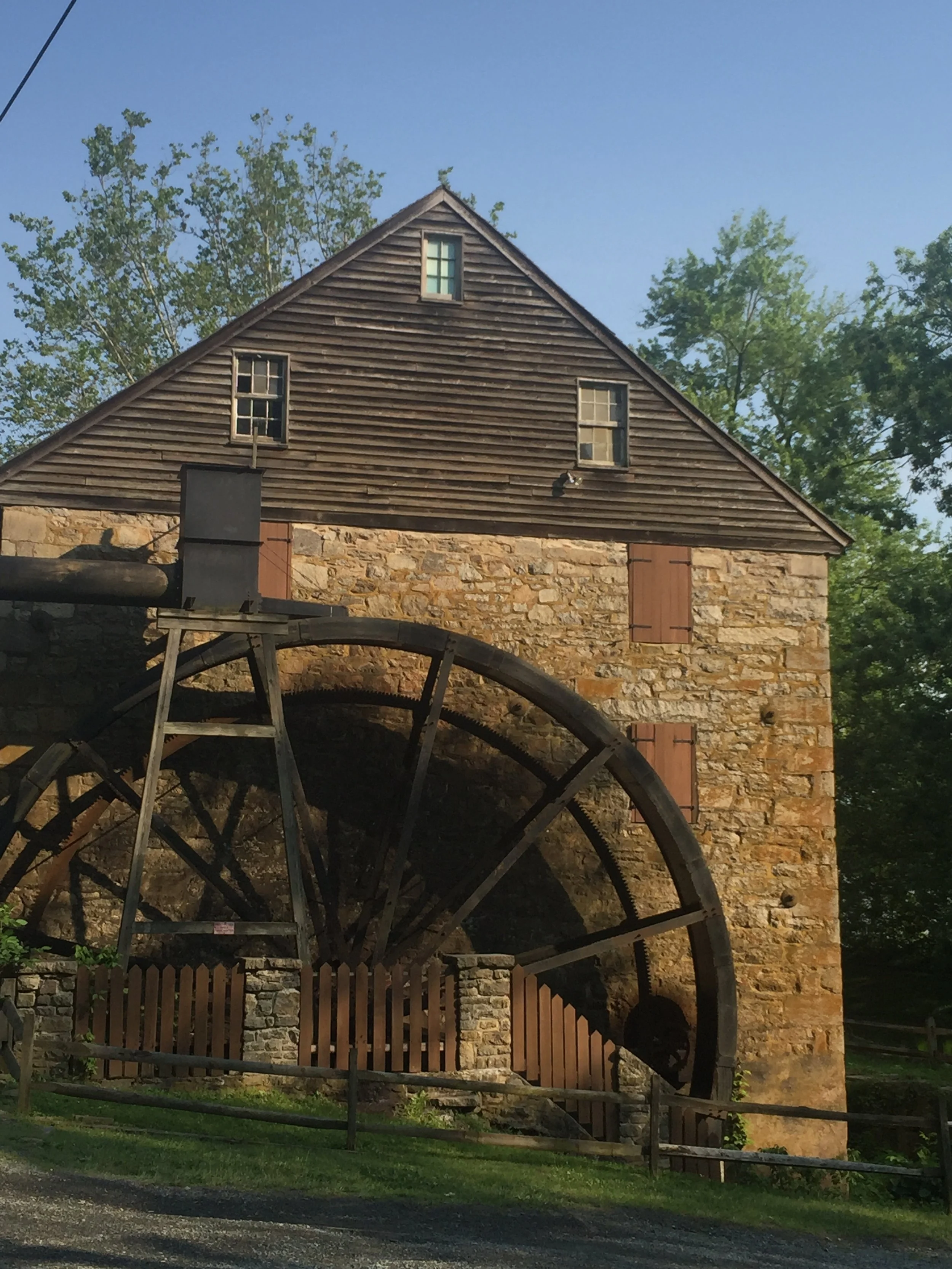
The marker is located near the impressive Rock Run gristmill, built about 1800 by John Stump.

Ed Haile and Connie gave Chesapeake Cross Marker sponsor Turney McKnight a tour of the Susquehanna site.

The broad Susquehanna, a photo from the northbound Amtrak train
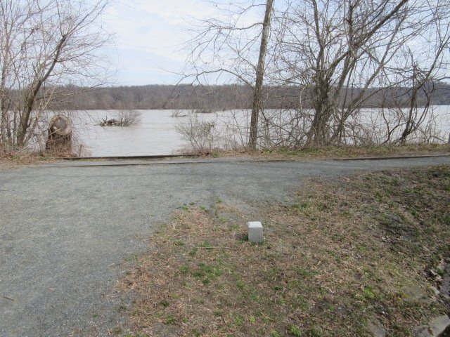
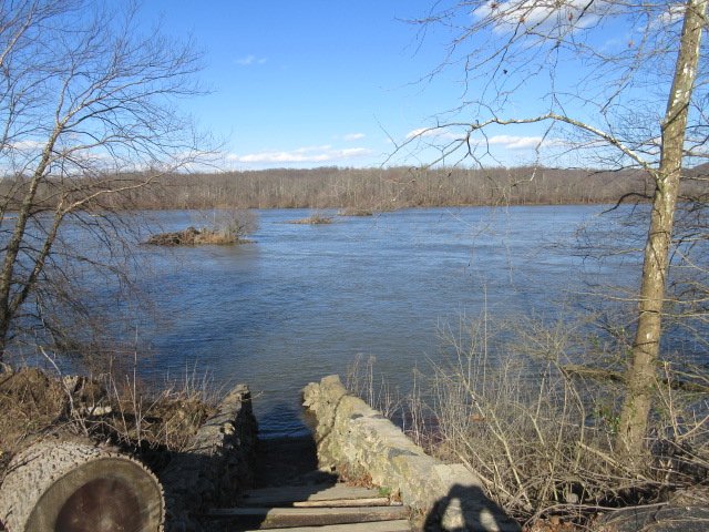
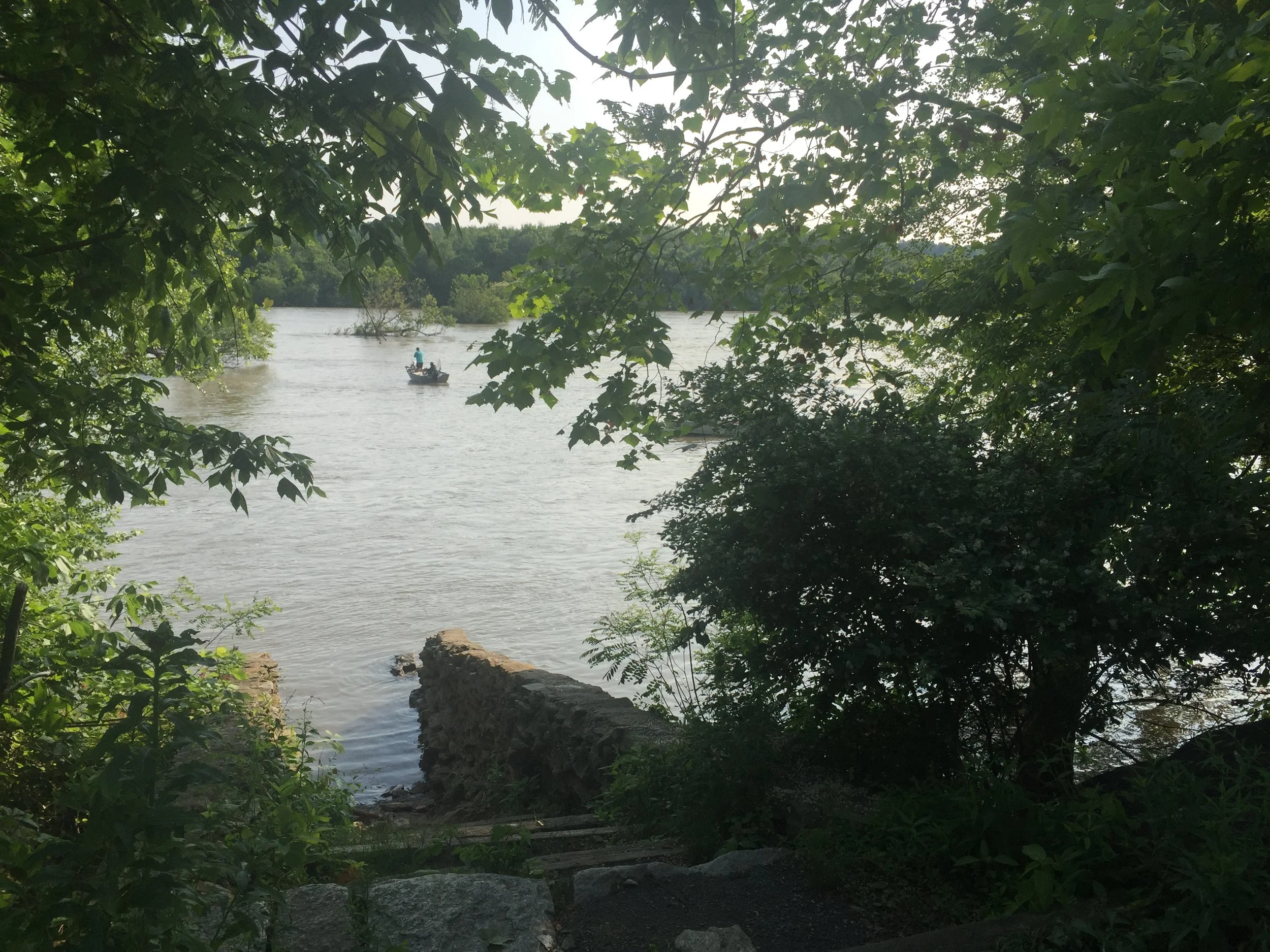
The marker is only steps from the Susquehanna River.

A photo from the parking lot with Connie standing by the marker shows the easy access to the marker and to the river. (Photo: Ed Haile)

The abandoned railroad tracks form a walking trail at Susquehanna Valley State Park today.
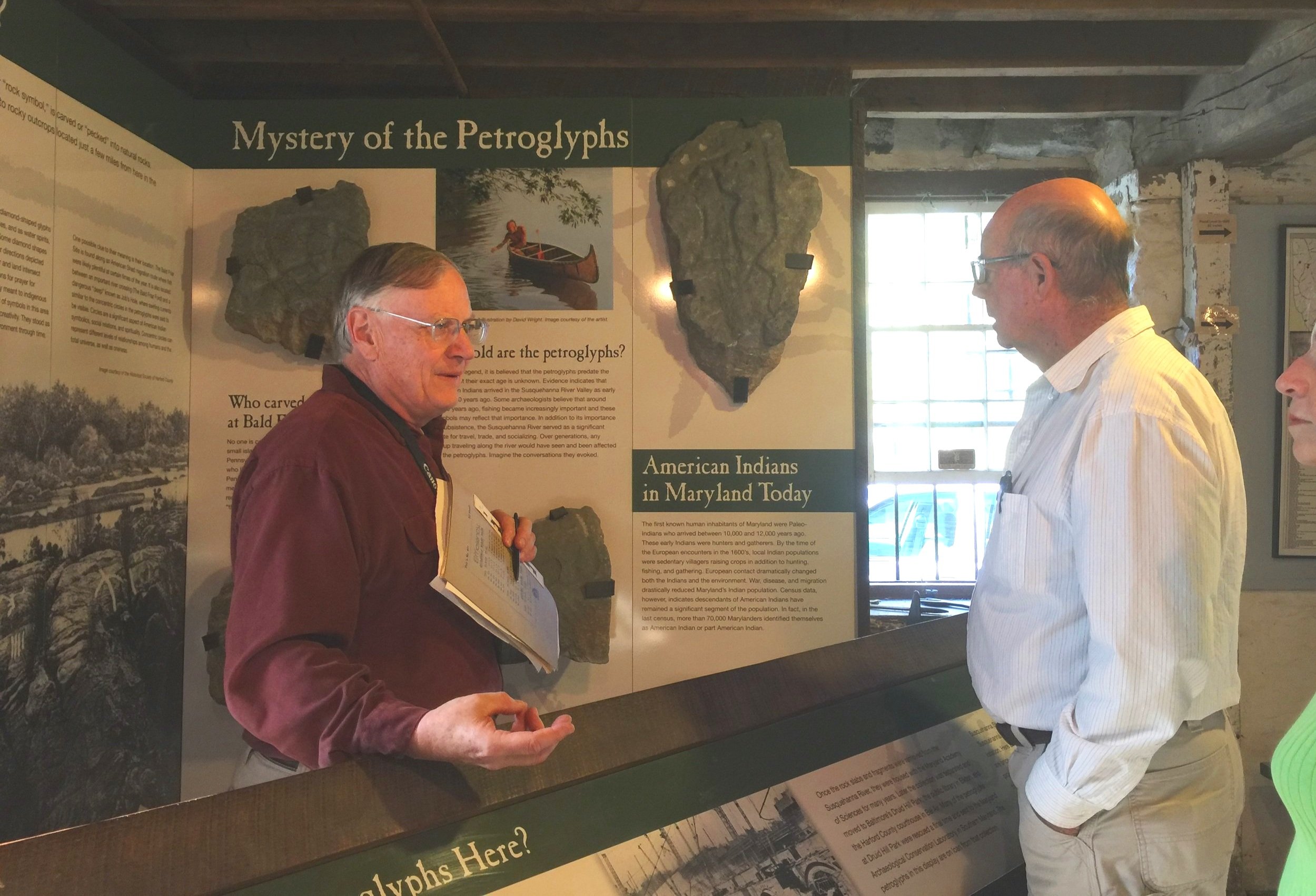
Archaeologist Wayne Clark offered us many insights as we sought to determine the Susquehanna location as well as other Smith cross sites.

An image of a Susquehannock chieftain from the 1612 Smith map.
About
Capt. Smith on the second expedition up the Bay, hoping to discover a northwest passage to the heart of the continent or to the Pacific Ocean, took his shallop to the head of navigation on the Susquehanna River to anchor at Lapidum. A shore party set out on foot up the right bank to a point beyond Deer Creek before turning back and setting a cross along the way. The journal mentions that they lost their grapple anchor as they departed. A week later Smith returned to the mouth of the river to confer with a delegation of Susquehannock Indians who gave him a lesson in geography.
Siting
Siting criteria are from the Smith map, the head of navigation, the mouth of Deer Creek and writings.
Visit
Public land, Susquehanna State Park. Access is by land in lot parking off Stafford Rd. beside Rock Run Grist Mill.
GPS Coordinates
39.6083, -76.1425
N39°36’30”xW76°08’33”